
Dover in Stewart County, Tennessee — The American South (East South Central)
Forrest's Cavalry
Photographed by Shane Oliver, February 7, 2021
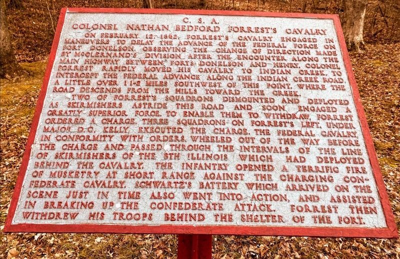
1. Forrest's Cavalry Marker
Colonel Nathan Bedford Forrest's Cavalry
Two of Forrest's squadrons dismounted and deployed as skirmishers astride this road and soon engaged a greatly superior force to enable them to withdraw, Forrest ordered a charge. Three squadrons of Forrest's left, under Major D.C. Kelly, executed the charge. The Federal cavalry, in conformity with orders, wheeled out of the way before the charge and passed through the intervals of the line of skirmishers of the 8th Illinois which had deployed behind the cavalry. The infantry opened a terrific fire of musketry at short range against the charging Confederate cavalry. Schwartz's Battery which arrived
this page online
Topics. This historical marker is listed in this topic list: War, US Civil. A significant historical month for this entry is February 1853.
Location. 36° 28.888′ N, 87° 51.209′ W. Marker is in Dover, Tennessee, in Stewart County. It is on Sandy Road, on the right when traveling north. Located in Fort Donelson National Battlefield. Touch for map. Marker is in this post office area: Dover TN 37058, United States of America. Touch for directions.

Regionally, this marker is in Middle Tennessee and in the Highland Rim. It is also in the American South and specifically in the Upper South. Globally, it is in North America, the Western Hemisphere, the Western World, and the Anglosphere. Historically, it finds itself in what was once the territory of the Mississippian Culture, one of the Confederate States of America, and the Antebellum South.
Other nearby markers. At least 8 other markers are within walking distance of this marker: Confederate Trenches (about 500 feet away, measured
Photographed by Craig Swain, September 4, 2010
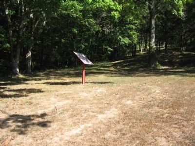
2. Forrest's Cavalry Tablet
Also see . . . Fort Donelson. National Park Service site. (Submitted on November 27, 2010, by Craig Swain of Leesburg, Virginia.)
Credits. This page was last revised on May 10, 2021. It was originally submitted on November 27, 2010, by Craig Swain of Leesburg, Virginia. This page has been viewed 964 times since then and 24 times this year. Photos: 1. submitted on May 10, 2021, by Shane Oliver of Richmond, Virginia. 2. submitted on November 27, 2010, by Craig Swain of Leesburg, Virginia.
