Near Socorro in Socorro County, New Mexico — The American Mountains (Southwest)
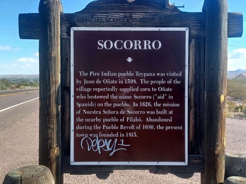
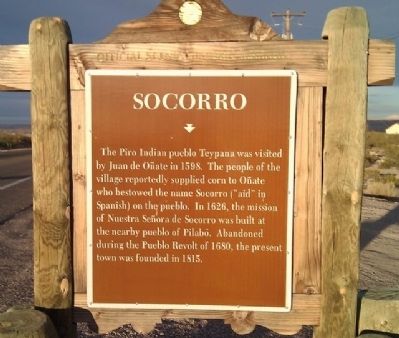
Socorro
Topics and series. This historical marker is listed in these topic lists: Native Americans • Settlements & Settlers. In addition, it is included in the El Camino Real de Tierra Adentro series list. A significant historical year for this entry is 1598.
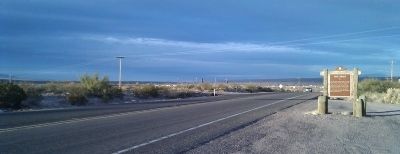
Location. 34° 2.617′ N, 106° 54.512′ W. Marker is near Socorro, New Mexico, in Socorro County. Marker is on Grant Street (U.S. 60), on the right when traveling east. Touch for map. Marker is at or near this postal address: 836 Grant Street, Socorro NM 87801, United States of America. Touch for directions.
Other nearby markers. At least 8 other markers are within 2 miles of this marker, measured as the crow flies. Bursum House (approx. 1.1 miles away); For Southern Independence (approx. 1.2 miles away); Jesus Maria Torres House (approx. 1.2 miles away); Church of the Epiphany (approx. 1.2 miles away); Edward S. Stapleton House (approx. 1.3 miles away); Jumbo (approx. 1.3 miles away); Abeyta Block (approx. 1.3 miles away); a different marker also named Socorro (approx. 1.3 miles away). Touch for a list and map of all markers in Socorro.
Credits. This page was last revised on December 29, 2023. It was originally submitted on November 27, 2010, by Gregory Walker of La Grange, Texas. This page has been viewed 807 times since then and 34 times this year. Photos: 1. submitted on December 28, 2023, by Flexible Fotography of San Diego, California. 2, 3. submitted on November 27, 2010, by Gregory Walker of La Grange, Texas. • Syd Whittle was the editor who published this page.


