Bonnieville in Hart County, Kentucky — The American South (East South Central)
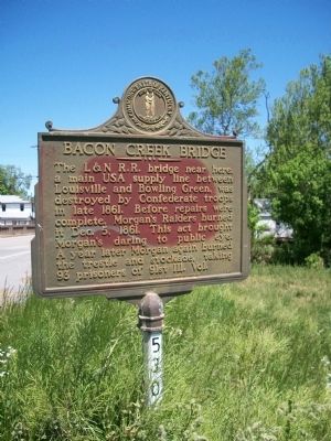
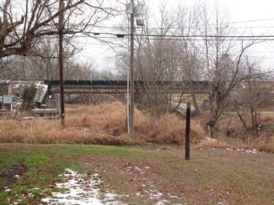
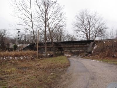
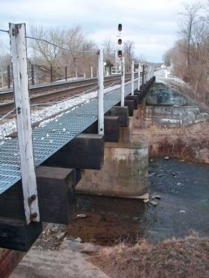
Bacon Creek Bridge
Erected 1962 by Kentucky Historical Society - Kentucky Department of Highways. (Marker Number 530.)
Topics and series. This historical marker is listed in these topic lists: Bridges & Viaducts • Railroads & Streetcars • War, US Civil. In addition, it is included in the Kentucky Historical Society series list. A significant historical date for this entry is December 5, 1861.
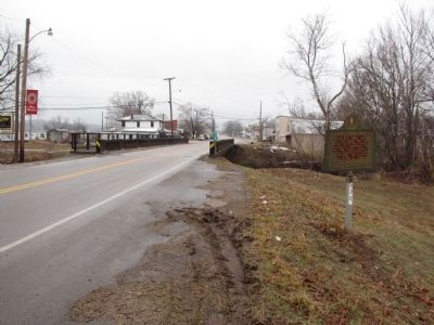
Location. 37° 22.486′ N, 85° 54.159′ W. Marker is in Bonnieville, Kentucky, in Hart County. Marker is on North Dixie Highway (U.S. 31W), on the right when traveling north. Touch for map. Marker is in this post office area: Bonnieville KY 42713, United States of America. Touch for directions.
Other nearby markers. At least 8 other markers are within 8 miles of this marker, measured as the crow flies. A different marker also named Bacon Creek Bridge (within shouting distance of this marker); Bacon Creek Trestle (within shouting distance of this marker); An Indian Ambush (approx. ¼ mile away); On Washington's Guard (approx. 6.4 miles away); John Ireland (approx. 7.1 miles away); John Muir & Robert Munford (approx. 7.1 miles away); William Clark and Family (approx. 7.1 miles away); Albery Allson Whitman (approx. 7.1 miles away). Touch for a list and map of all markers in Bonnieville.
Credits. This page was last revised on June 1, 2021. It was originally submitted on November 28, 2010, by James David Harvey of Seville, Ohio. This page has been viewed 1,398 times since then and 65 times this year. Photos: 1. submitted on November 28, 2010, by James David Harvey of Seville, Ohio. 2, 3, 4. submitted on January 28, 2011, by Lee Hattabaugh of Capshaw, Alabama. 5. submitted on April 7, 2011, by James David Harvey of Seville, Ohio. • Craig Swain was the editor who published this page.
