Near Deepstep in Washington County, Georgia — The American South (South Atlantic)
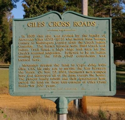
Giles Cross Roads
Alexander deeded the land to Capt. John Irvin Giles, CSA, his only son to survive the War Between the States. On Nov. 25, 1864, Sherman’s men camped here and destroyed all of the farm except the house. The pioneer family rebuilt and their descendants have owned the land on these four corners of Giles Cross Roads for 200 years.
Erected 1996 by Giles Family Organization.
Topics. This historical marker is listed in these topic lists: Settlements & Settlers • War, US Civil. A significant historical date for this entry is October 25, 1864.
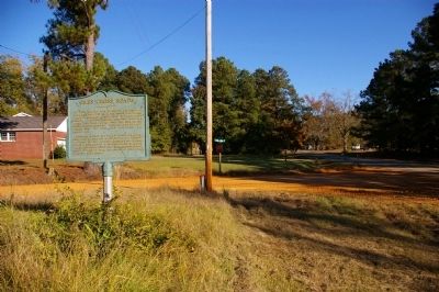
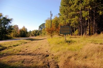
Location. 33° 1.885′ N, 83° 0.556′ W. Marker is near Deepstep, Georgia, in Washington County. Marker is at the intersection of Deepstep Road and Indian Trail Road, on the right when traveling west on Deepstep Road. Touch for map. Marker is in this post office area: Sandersville GA 31082, United States of America. Touch for directions.
Other nearby markers. At least 8 other markers are within 12 miles of this marker, measured as the crow flies. Deepstep United Methodist Church (approx. 2 miles away); Hebron (approx. 4.4 miles away); Buffalo Creek (approx. 5.6 miles away); Montpelier (approx. 9.6 miles away); Glen Mary "The Temple on the Hill" (approx. 10.1 miles away); Old Fort Wilkinson (approx. 11.7 miles away); Washington County (GA) Confederate Memorial (approx. 11.8 miles away); Old City Cemetery (approx. 11.8 miles away).
Credits. This page was last revised on June 16, 2016. It was originally submitted on November 29, 2010, by David Seibert of Sandy Springs, Georgia. This page has been viewed 965 times since then and 33 times this year. Photos: 1, 2, 3, 4. submitted on November 29, 2010, by David Seibert of Sandy Springs, Georgia. • Craig Swain was the editor who published this page.


