Dover in Stewart County, Tennessee — The American South (East South Central)
Baldwin's Brigade
Pillow's Division
Brigadier General
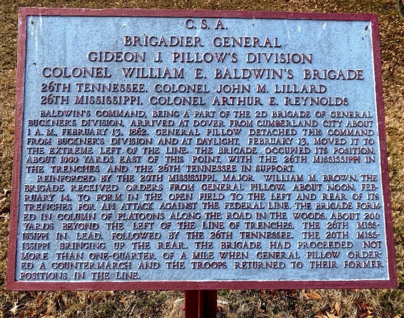
Gideon J. Pillow's Division
Colonel William E. Baldwin's Brigade
26th Mississippi, Colonel Arthur E. Reynolds
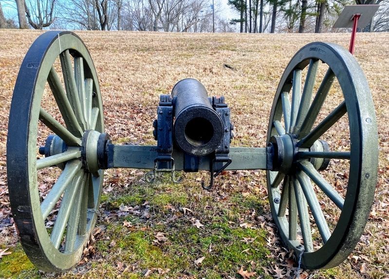
Baldwin's command, being part of the 2d Brigade of General Buckner's Division, arrived at Dover from Cumberland City about 1 a.m., February 13, 1862. General Pillow detached this command from Buckner's Division and at daylight, February 13, moved it to the extreme left of the line. The brigade occupied its position, about 1000 yards east of this point, with the 26th Mississippi in the trenches and the 26th Tennessee in support.
Reinforced by the 20th Mississippi, Major William M Brown, the brigade received orders from General Pillow, about noon, February 14, to form in the open field to the left and rear of its trenches for an attack against the Federal line. The brigade formed in column of platoons along the road in the woods, about 200 yards beyond the left of the line of trenches, the 26th Mississippi in the lead, followed by the 26th Tennessee, the 20th Mississippi bringing up the rear. The brigade had proceeded not more than one-quarter of a mile when General Pillow ordered a countermarch and the troops returned to their former positions in the line.
Topics. This historical marker is listed in this topic list: War, US Civil . A significant historical date for this entry is February 13, 1862.
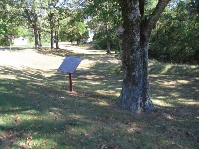
Location. 36° 28.81′ N, 87° 50.51′ W. Marker is in Dover, Tennessee, in Stewart County. Marker is at the intersection of Cedar Street and Natcor Drive (County Route 943), on the right when traveling east on Cedar Street. Located along the tour road in Fort Donelson National Battlefield. Touch for map. Marker is in this post office area: Dover TN 37058, United States of America. Touch for directions.
Other nearby markers. At least 8 other markers are within walking distance of this marker. Original Position (about 300 feet away, measured in a direct line); Forrest's Cavalry (about 300 feet away); McCausland's Brigade (about 500 feet away); Planning to Escape (about 600 feet away); Texas (about 600 feet away); Confederate Breakout (about 600 feet away); a different marker also named Confederate Breakout (about 600 feet away); Greene's Battery (about 700 feet away). Touch for a list and map of all markers in Dover.
Also see . . . Fort Donelson. National Park Service site. (Submitted on December 3, 2010, by Craig Swain of Leesburg, Virginia.)
Credits. This page was last revised on May 10, 2021. It was originally submitted on December 3, 2010, by Craig Swain of Leesburg, Virginia. This page has been viewed 716 times since then and 21 times this year. Photos: 1. submitted on May 10, 2021, by Shane Oliver of Richmond, Virginia. 2, 3, 4. submitted on December 3, 2010, by Craig Swain of Leesburg, Virginia. 5. submitted on May 10, 2021, by Shane Oliver of Richmond, Virginia.
