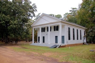
Near Jeffersonville in Twiggs County, Georgia — The American South (South Atlantic)
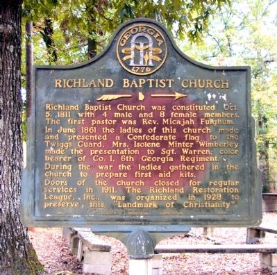
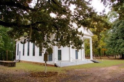
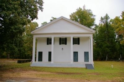
Richland Baptist Church
>>>------>
In June 1861 the ladies of this church made and presented a Confederate flag., to the Twiggs Guard. Mrs. Isolene Minter Wimberley made the presentation to Sgt. Warren, color bearer of Co. I, 6th Georgia Regiment.
During the war the ladies gathered in the church to prepare first aid kits.
Doors of the church closed for regular services in 1911. The Richland Restoration League, Inc., was organized in 1928 to preserve this “Landmark of Christianity”.
Erected 1954 by Georgia Historical Commission. (Marker Number 143-3.)
Topics and series. This historical marker is listed in these topic lists: Churches & Religion • War, US Civil. In addition, it is included in the Georgia Historical Society series list. A significant historical month for this entry is June 1861.
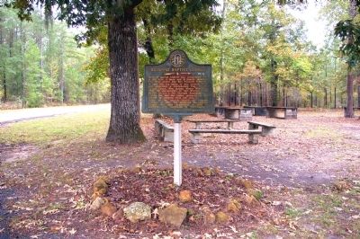
Location. 32° 37.821′ N, 83° 24.039′ W. Marker is near Jeffersonville, Georgia, in Twiggs County. Marker is on New Hope-Richland Church Road, 2 miles west of Georgia Route 96, on the right when traveling south. Touch for map. Marker is in this post office area: Jeffersonville GA 31044, United States of America. Touch for directions.
Other nearby markers. At least 8 other markers are within 11 miles of this marker, measured as the crow flies. Geographic Center of Georgia (approx. 3.1 miles away); Ezekiel Wimberley (approx. 5.1 miles away); Twiggs County (approx. 5.1 miles away); Twiggs County Civil War Monument (approx. 5.1 miles away); Arthur Fort, 1750-1833 (approx. 5.6 miles away); Tarversville (approx. 6.7 miles away); Dudley M. Hughes (approx. 9.3 miles away); Longstreet Methodist Church (approx. 10.3 miles away). Touch for a list and map of all markers in Jeffersonville.
Credits. This page was last revised on June 16, 2016. It was originally submitted on December 3, 2010, by David Seibert of Sandy Springs, Georgia. This page has been viewed 912 times since then and 13 times this year. Photos: 1, 2, 3, 4, 5. submitted on December 3, 2010, by David Seibert of Sandy Springs, Georgia. • Craig Swain was the editor who published this page.
