Dover in Stewart County, Tennessee — The American South (East South Central)
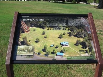
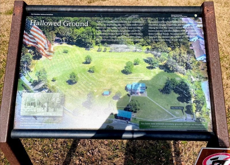
Hallowed Ground
Photographed by Craig Swain, September 4, 2010
1. Hallowed Ground Marker
The outer ring of headstones marks the graves of 62 soldiers from the 11th Illinois Infantry, killed resisting the Confederate breakout attempt of February 15, 1862.
Judge James E. Rice, prominent Dover citizen and civilian aide to Gen. Gideon Pillow during the Battle of Fort Donelson, visits the national cemetery about 1880. Note the cannon used as gate posts.
Erected by Fort Donelson National Battlefield - National Park Service - Department
this page online
Topics. This historical marker is listed in these topic lists: Cemeteries & Burial Sites • War, US Civil. A significant historical date for this entry is February 15, 1940.
Location. 36° 29.265′ N, 87° 50.815′ W. Marker is in Dover, Tennessee, in Stewart County. It is on Cemetery Road, on the right when traveling north. Located at stop 11, the National Cemetery, on the driving tour of Fort Donelson National Battlefield. Touch for map. Marker is in this post office area: Dover TN 37058, United States of America. Touch for directions.

Regionally, this marker is in Middle Tennessee and in the Highland Rim. It is also in the American South and specifically in the Upper South. Globally, it is in North America, the Western Hemisphere, the Western World, and the Anglosphere. Historically, it finds itself in what was once the territory of the Mississippian Culture, one of the Confederate States of America, and the Antebellum South.
Other nearby markers. At least 8 other markers are within walking distance of this marker: Cemetery Lodge (a few steps from this marker); Freedmen's Camp (about 600 feet away, measured in a
Photographed by Shane Oliver, February 7, 2021
2. Hallowed Ground Marker
Also see . . . Fort Donelson. National Park Service site. (Submitted on December 7, 2010, by Craig Swain of Leesburg, Virginia.)
Photographed by Craig Swain, September 4, 2010
3. Hallowed Ground Marker
Photographed by Craig Swain, September 4, 2010
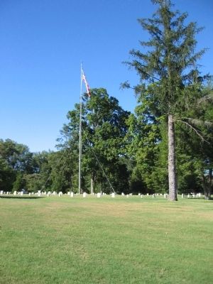
4. Flagpole in the Cemetery
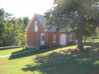
Photographed by Craig Swain, September 4, 2010
5. Information and Utility Building
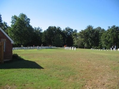
Photographed by Craig Swain, September 4, 2010
6. Fort Donelson National Cemetery
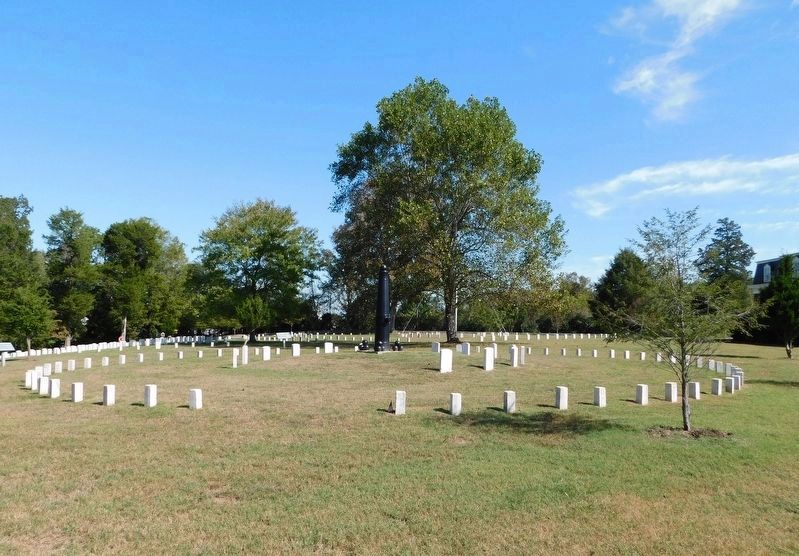
Photographed by Bradley Owen, October 14, 2019
7. Fort Donelson National Cemetery
Outer ring of headstones as noted on the marker.
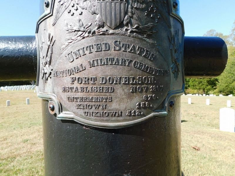
Photographed by Bradley Owen, October 14, 2019
8. National Cemetery Bronze Plaque
Credits. This page was last revised on May 10, 2021. It was originally submitted on December 7, 2010, by Craig Swain of Leesburg, Virginia. This page has been viewed 872 times since then and 29 times this year. Photos: 1. submitted on December 7, 2010, by Craig Swain of Leesburg, Virginia. 2. submitted on May 10, 2021, by Shane Oliver of Richmond, Virginia. 3, 4, 5, 6. submitted on December 7, 2010, by Craig Swain of Leesburg, Virginia. 7, 8. submitted on February 6, 2021, by Bradley Owen of Morgantown, West Virginia.
