Greensboro in Greene County, Georgia — The American South (South Atlantic)
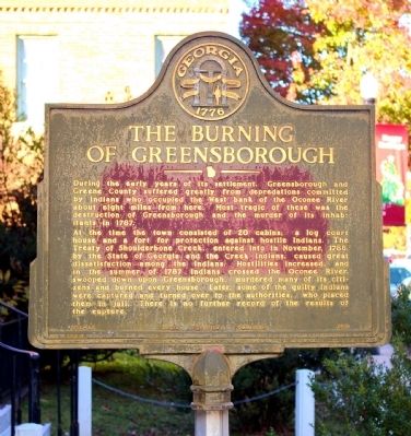
The Burning of Greensborough
At the time the town consisted of 20 cabins, a log court house and a fort for protection against hostile Indians. The Treaty of Shoulderbone Creek, entered into in November, 1786, by the State of Georgia and the Creek Indians, caused great dissatisfaction among the Indians. Hostilities increased, and in the summer of 1787 Indians crossed the Oconee River, swooped down upon Greensborough, murdered many of its citizens and burned every house. Later, some of the guilty Indians were captured and turned over to the authorities, who placed them in jail. There is no further record of the results of the capture.
Erected 1958 by Georgia Historical Commission. (Marker Number 066-12.)
Topics and series. This historical marker is listed in these topic lists: Settlements & Settlers • Wars, US Indian. In addition, it is included in the Georgia Historical Society series list. A significant historical month for this entry is November 1786.
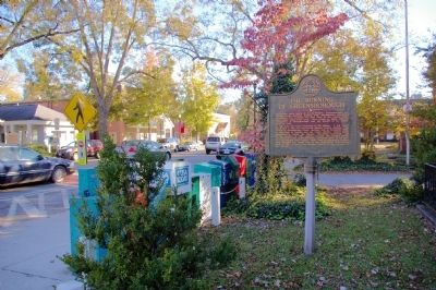
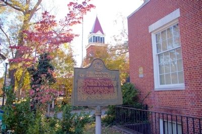
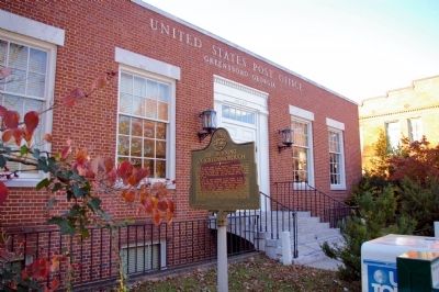
Location. 33° 34.512′ N, 83° 10.968′ W. Marker is in Greensboro, Georgia, in Greene County. Marker is on South Main Street (Georgia Route 44) 0 miles north of West South Street, on the right when traveling south. The marker stands in front of the Greensboro Post Office. Touch for map. Marker is at or near this postal address: 115 South Main Street, Greensboro GA 30642, United States of America. Touch for directions.
Other nearby markers. At least 8 other markers are within walking distance of this marker. Greene County (about 500 feet away, measured in a direct line); Bishop George Foster Pierce (about 500 feet away); First Commissioner of Agriculture (about 600 feet away); William C. Dawson (about 600 feet away); Old Greene County "Gaol" (about 700 feet away); Sheriff L. L. Wyatt (about 800 feet away); Greensboro Auditorium (approx. 0.2 miles away); Episcopal Church of The Redeemer (approx. 0.2 miles away). Touch for a list and map of all markers in Greensboro.
Credits. This page was last revised on June 16, 2016. It was originally submitted on December 11, 2010, by David Seibert of Sandy Springs, Georgia. This page has been viewed 1,258 times since then and 45 times this year. Photos: 1, 2, 3, 4. submitted on December 11, 2010, by David Seibert of Sandy Springs, Georgia. • Craig Swain was the editor who published this page.


