Edgewater in Bergen County, New Jersey — The American Northeast (Mid-Atlantic)
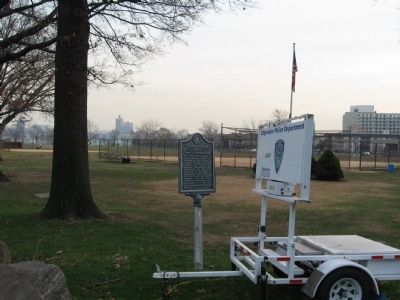
Vriessendael
1640
Colony of David DeVries
Erected by Bergen County Historical Society.
Topics. This historical marker is listed in these topic lists: Colonial Era • Settlements & Settlers. A significant historical year for this entry is 1640.
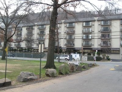
Location. 40° 50.034′ N, 73° 58.311′ W. Marker is in Edgewater, New Jersey, in Bergen County. Marker is on River Road near Glenwood Avenue, on the left when traveling south. Located in Veterans Field. Touch for map. Marker is in this post office area: Edgewater NJ 07020, United States of America. Touch for directions.
Other nearby markers. At least 8 other markers are within walking distance of this marker. Edgewater World War II Memorial (within shouting distance of this marker); For Whom The Bell Tolls (within shouting distance of this marker); Edgewater Vietnam Veterans Monument (about 700 feet away, measured in a direct line); Tsunesaburo Makiguchi (approx. 0.2 miles away); Edgewater World War I Monument (approx. 0.3 miles away); Christopher Columbus Memorial Plaza (approx. 0.4 miles away); Palisades Amusement Park (approx. 0.6 miles away); Burdett's Landing (approx. 0.7 miles away). Touch for a list and map of all markers in Edgewater.
Also see . . . Vriessendael, New Netherland on Wikipedia. (Submitted on December 13, 2010, by Michael Herrick of Southbury, Connecticut.)
Credits. This page was last revised on June 16, 2016. It was originally submitted on December 13, 2010, by Michael Herrick of Southbury, Connecticut. This page has been viewed 1,291 times since then and 24 times this year. Photos: 1, 2, 3. submitted on December 13, 2010, by Michael Herrick of Southbury, Connecticut.


