A Town at the Bottom
Lake Meade National Recreation Area
— National Park Service, U.S. Department of the Interior —
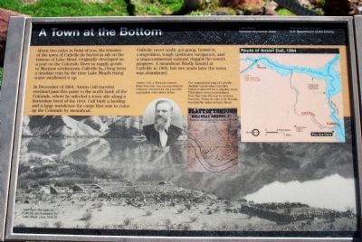
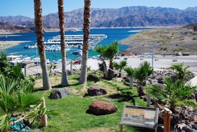
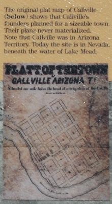
About two miles in front of you, the remains of the town of Callville lie buried in silt on the bottom of Lake Mead. Originally developed as a port on the Colorado River to supply goods to Mormon settlements, Callville had long been a desolate ruin by the time Lake Mead's rising water swallowed it up.
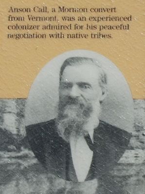
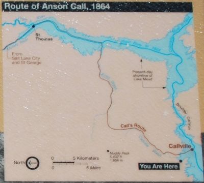
In December of 1864, Anson Call traveled overland past this point to the north bank of the Colorado, where he selected a town site along a horseshoe bend of the river. Call built a landing and a large warehouse for cargo that was to come up the Colorado by steamboat.
Callville never really got going. Isolation, competition, tough upstream navigation, and a transcontinental railroad dogged the town's progress. A steamboat finally landed at Callville in 1866, but two years later the town was abandoned.
Erected by National Park Service, U.S. Department of the Interior.
Topics. This historical marker is listed in these topic lists: Settlements & Settlers • Waterways & Vessels. A significant historical month for this entry is December 1864.
Location. 36° 8.526′ N, 114° 43.307′ W. Marker is in Callville Bay, Nevada, in Clark County. It is in Overton. Marker can be reached from Callville Road, on the left when traveling east. Marker is next to the Callville
Other nearby markers. At least 8 other markers are within 9 miles of this marker, measured as the crow flies. They Died to Make the Desert Bloom (approx. 8.7 miles away); They Laboured that Millions might see a Brighter Day (approx. 8.7 miles away); Dr. Elwood Mead (approx. 8.7 miles away); a different marker also named Dr. Elwood Mead (approx. 8.7 miles away); Hoover Dam and Lake Mead (approx. 8.7 miles away); Civil Engineering Monument of the Millennium (approx. 8.7 miles away); Hoover Dam (approx. 8.7 miles away); The Hoover Dam Construction Mascot (approx. 8.8 miles away).
Also see . . .
1. Lake Mead National Recreation Area. (Submitted on December 2, 2007, by Karen Key of Sacramento, California.)
2. Callville Bay Resort & Marina. (Submitted on December 2, 2007, by Karen Key of Sacramento, California.)
3. The Autobiography of Anson Call (Selections from his journal up to 1839). (Submitted on December 2, 2007, by Karen Key of Sacramento, California.)
Credits. This page was last revised on February 7, 2023. It was originally submitted on December 2, 2007, by Karen Key of Sacramento, California. This page has been viewed 2,706 times since then and 134 times this year. Photos: 1, 2, 3, 4, 5. submitted on December 2, 2007, by Karen Key of Sacramento, California.
