Monticello in San Juan County, Utah — The American Mountains (Southwest)
Wilson Arch
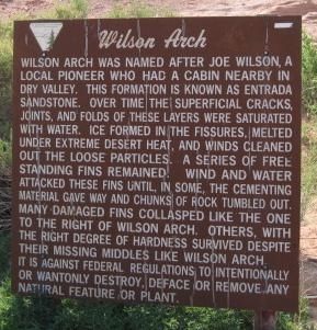
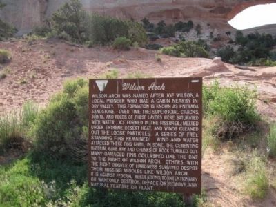
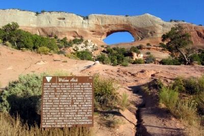
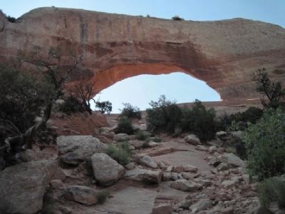
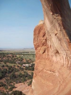
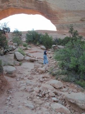
Wilson Arch was named after Joe Wilson, a local pioneer who had a cabin nearby in Dry Valley. This formation is known as Entrada Sandstone. Over time superficial cracks, joints, and folds of these layers were saturated with water. Ice formed in the fissures, melted under extreme desert heat, and winds cleaned out the loose particles. A series of free-standing fins remained. Wind and water attacked these fins until, in some, cementing material gave way and chunks of rock tumbled out. Many damaged fins collapsed like the one to the right of Wilson Arch. Others, with the right degree of hardness survived despite their missing middles like Wilson Arch.
Topics. This historical marker is listed in this topic list: Natural Features.
Location. 38° 16.414′ N, 109° 22.352′ W. Marker is in Monticello, Utah, in San Juan County. Marker is on U.S. 191 south of Wilson Arch Road, on the right when traveling north. Touch for map. Marker is in this post office area: Monticello UT 84535, United States of America. Touch for directions.
Other nearby markers. At least 3 other markers are within 10 miles of this marker, measured as the crow flies. Historic La Sal Post Office (approx. 7.2 miles away); Hole N” The Rock, Utah (approx. 9.2 miles away); The Spanish Trail (approx. 9.4 miles away).
Also see . . . Wilson Arch. Wikipedia article on Wilson Arch. (Submitted on January 1, 2011, by Bob (peach) Weber of Dewey, Arizona.)
Credits. This page was last revised on June 16, 2016. It was originally submitted on December 24, 2010, by Bob (peach) Weber of Dewey, Arizona. This page has been viewed 805 times since then and 33 times this year. Photos: 1, 2. submitted on December 24, 2010, by Bob (peach) Weber of Dewey, Arizona. 3. submitted on January 14, 2014, by Duane Hall of Abilene, Texas. 4, 5, 6, 7, 8. submitted on December 24, 2010, by Bob (peach) Weber of Dewey, Arizona. • Syd Whittle was the editor who published this page.
