Cape Henlopen State Park near Lewes in Sussex County, Delaware — The American Northeast (Mid-Atlantic)
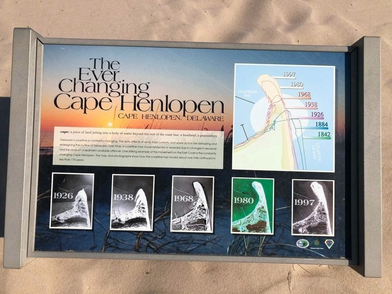
The Ever Changing Cape Henlopen
Cape Henlopen, Delaware
Erected by Delaware State Parks.
Topics and series. This historical marker is listed in this topic list: Environment. In addition, it is included in the Delaware State Parks series list.
Location. 38° 47.717′ N, 75° 5.513′ W. Marker is near Lewes, Delaware, in Sussex County. It is in Cape Henlopen State Park. It can be reached from Post Road. Located within Cape Henlopen State Park. Touch for map. Marker is in this post office area: Lewes DE 19958, United States of America.
this page online

Regionally, this marker is on Delaware’s Beaches. It is also in the American Mid-Atlantic, on the Delmarva Peninsula, and on the Eastern Seaboard. Globally, it is in the North Atlantic Region, North America, the Western Hemisphere, the Western World, and the Anglosphere. Historically, it finds itself in what was once New Netherland, one of the original Thirteen Colonies, and the Antebellum South.
Other nearby markers. At least 8 other markers are within walking distance of this marker: Delaware’s Beachnesters (a few steps from this marker); The Osprey (a few steps from this marker); Battery Hunter (approx. half a mile away); Senator David B. McBride (approx. 0.7 miles away); William J. Hopkins (approx. 0.8 miles away); Delaware Breakwater Quarantine Station (approx. 0.8 miles away); Quarantine Station (approx. 0.8 miles away); German Submarine at Cape Henlopen (approx. 0.8 miles away). Touch for a list and map of all markers in Lewes.
Photographed by Ian Lefkowitz, May 4, 2024
3. The Ever Changing Cape Henlopen Marker
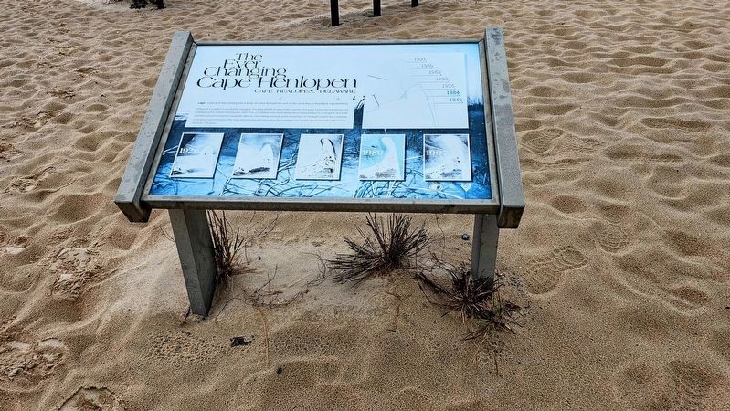
As of 2024, the marker is suffering the effects of weather.
Credits. This page was last revised on April 2, 2025. It was originally submitted on January 1, 2011, by Nathan Davidson of Salisbury, Maryland. This page has been viewed 1,145 times since then and 30 times this year. Photos: 1, 2. submitted on May 17, 2020, by Devry Becker Jones of Washington, District of Columbia. 3. submitted on March 19, 2025, by Ian Lefkowitz of New York, New York. • Bill Pfingsten was the editor who published this page.
