Near Manassas in Prince William County, Virginia — The American South (Mid-Atlantic)
Wilmer McLean’s Yorkshire
From Front Lawn to Front Parlor
After the Confederates evacuated the area in March 1862, McLean moved first to Richmond and then to Appomattox Court House in Southside Virginia. There he felt safe from the campaigning armies and continued his business ventures with the Confederate government. In 1865, however, the war came home again to Wilmer McLean. On April 9, Gen. Robert E. Lee surrendered the Army of Northern Virginia to Union Gen. Ulysses S. Grant in McLean’s parlor. Afterward, the parlor was stripped of its furniture and other pieces of the house were carried away for souvenirs as well. McLean returned to this area in 1867 and died in Alexandria in 1882.
“These armies tore my place on Bull Run all to pieces … so I just sold out and came here, two hundred miles away, hoping I should never see a soldier again. Now, just look around you! Not a fence-rail is left on the place, the last guns trampled down all my crops, and Lee surrenders in my house.”
– Wilmer McLean
Erected 2007 by Virginia Civil War Trails.
Topics and series. This historical marker is listed in this topic list: War, US Civil. In addition, it is included in the Virginia Civil War Trails series list. A significant historical month for this entry is March 1862.
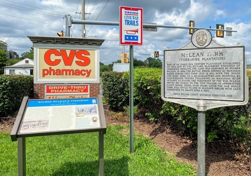
Location. 38° 47.589′ N, 77° 26.871′ W. Marker is near Manassas, Virginia, in Prince William County. Marker is at the intersection of Centreville Road (Virginia Route 28) and Yorkshire Lane, on the right when traveling south on Centreville Road. Marker is at intersection of Centreville Road and Yorkshire Lane. Located beside parking lot of CVS/pharmacy. Touch for map. Marker is in this post office area: Manassas VA 20110, United States of America. Touch for directions.
Other nearby markers. At least 8 other markers are within 2 miles of this marker, measured as the crow flies. McLean Farm (a few steps from this marker); Wilmer McLean after the Civil War (about 300 feet away, measured in a direct line); Mitchell's Ford (approx. 0.6 miles away); Blackburn's Ford (approx. 0.7 miles away); a different marker also named Blackburn’s Ford (approx. 0.7 miles away); Veterans Memorial (approx. one mile away); Union Mills Historic Site (approx. 1.1 miles away); The Centreville Confederate Military Railroad (approx. 1.3 miles away). Touch for a list and map of all markers in Manassas.
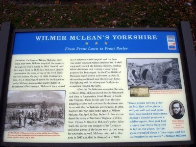
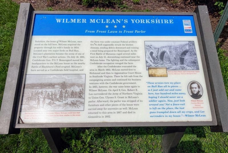
More about this marker. On the lower left a Harper's Weekly drawing from August 3, 1861 shows "The First Battle of Manassas occurred on farms like that of Wilmer McLean, and many residents found their houses and barns in the line of fire." On the upper right is a photo of the "McLean barn ruins" with an inset picture of the cornerstone showing McLean's name. On the lower right is a portrait of McLean.
Credits. This page was last revised on November 30, 2023. It was originally submitted on December 2, 2007. This page has been viewed 4,932 times since then and 114 times this year. Photos: 1. submitted on December 2, 2007. 2, 3. submitted on May 18, 2021, by Shane Oliver of Richmond, Virginia. • Craig Swain was the editor who published this page.


