Bowling Green in Warren County, Kentucky — The American South (East South Central)
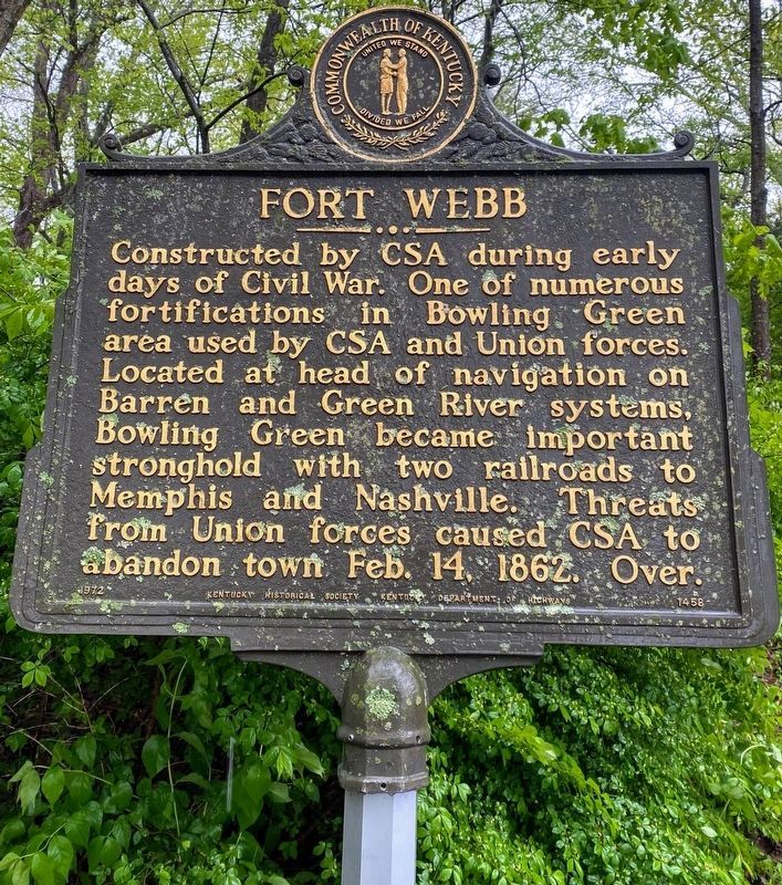
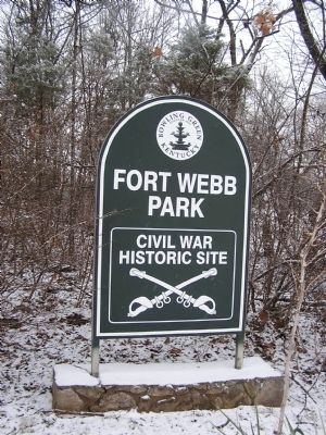
Fort Webb
Constructed by CSA during early days of Civil War. One of numerous fortifications in Bowling Green area used by CSA and Union forces. Located at head of navigation on Barren and Green River systems, Bowling Green became an important stronghold with two railroads to Memphis and Nashville. Threats from Union forces caused CSA to abandon town on February 14, 1862. Over.
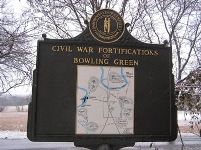
Reverse:
Civil War Fortifications of Bowling Green
Erected 1972 by Kentucky Historical Society and Kentucky Department of Highways. (Marker Number 1458.)
Topics and series. This historical marker is listed in these topic lists: Forts and Castles • War, US Civil • Waterways & Vessels. In addition, it is included in the Kentucky Historical Society series list. A significant historical month for this entry is February 1863.
Location. 37° 0.723′ N, 86° 25.958′ W. Marker is in Bowling Green, Kentucky, in Warren County. Marker is at the intersection of Fort Webb Drive and Beech Bend Road, on the right when traveling south on Fort Webb Drive. Touch for map. Marker is in this post office area: Bowling Green KY 42101, United States of America. Touch for directions.
Other nearby markers. At least 8 other markers are within walking distance of this marker. Fort Webb and Civil War Earthworks (within shouting distance of this marker); Defending the L&N Railroad (approx. 0.7 miles away); The Civil War in Bowling Green (approx. ¾ mile away); The Limestone Bluffs (approx. ¾ mile away); The Barren River (approx. ¾ mile away); Bowling Green & Warren County (approx. ¾ mile away); The Bridge (approx. ¾ mile away); College Street Bridge (approx. ¾ mile away). Touch for a list and map of all markers in Bowling Green.
Credits. This page was last revised on May 31, 2021. It was originally submitted on January 1, 2011, by Chad Comer of Gamaliel, Kentucky. This page has been viewed 932 times since then and 69 times this year. Photos: 1. submitted on May 28, 2021, by Shane Oliver of Richmond, Virginia. 2, 3. submitted on January 11, 2011, by Chad Comer of Gamaliel, Kentucky. • Craig Swain was the editor who published this page.


