Near Baraboo in Sauk County, Wisconsin — The American Midwest (Great Lakes)
The Lower Narrows
Photographed by Paul Fehrenbach, October 13, 2014
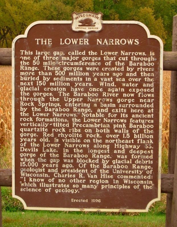
1. The Lower Narrows Marker
This large gap, called the Lower Narrows, is one of three major gorges that cut through the 50 mile circumference of the Baraboo Range. These gorges were created by rivers more than 500 million years ago and then buried by sediments in a vast sea over the next 150 million years. Wind, water and glacial erosion have once again exposed the gorges. The Baraboo River now flows through the Upper Narrows gorge near Rock Springs, entering a basin surrounded by the Baraboo Range, and exits here at the Lower Narrows. Notable for its ancient rock formations, the Lower Narrows features vertically-tilted Precambrian pink Baraboo quartzite rock ribs on both walls of the gorge. Red rhyolite rock, over 1.5 billion years old, is visible on the northeast flank of the Lower Narrows along Highway 33. Devil’s Lake, in the longest and deepest gorge of the Baraboo Range, was formed when the gap was blocked by glacial debris 15,000 years ago. Of the Baraboo Range, geologist and president of the University of Wisconsin, Charles R. Van Hise commented: “I know of no other region in Wisconsin which illustrates so many principles of the science of
this page online
Erected 1996 by the Wisconsin Historical Society. (Marker Number 338.)
Topics and series. This historical marker is listed in this topic list: Natural Features. In addition, it is included in the Wisconsin Historical Society series list.
Location. 43° 30.15′ N, 89° 37.974′ W. Marker is near Baraboo, Wisconsin, in Sauk County. It is on Wisconsin Route 33 west of County Road U, on the right when traveling east. Marker is at a highway pull-off. Touch for map. Marker is in this post office area: Baraboo WI 53913, United States of America. Touch for directions.

Regionally, this marker is in Greater Madison. It is also in the American Midwest, in the Corn Belt, and in the Driftless Area — Bluff Country. Globally, it is in North America, the Western Hemisphere, the Western World, and the Anglosphere. Historically, it finds itself in what was once the territory of the Mississippian Culture and also the Northwest Territory.
Other nearby markers. At least 8 other markers are within 6 miles of this marker, measured as the crow flies: Man Mound Park (approx. 2.2 miles
Photographed by Keith L, June 7, 2009
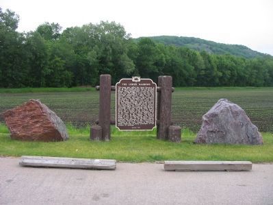
2. The Lower Narrows Marker
Another marker is no longer nearby. Man Mound (was approx. 2.1 miles away but has been permanently removed).
Also see . . . Lower Narrows SNA. Devil's Lake State Park Area Visitor Guide website entry (Submitted on November 9, 2023, by Larry Gertner of New York, New York.)
Photographed by Robert L Weber, January 9, 2009
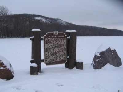
3. The Lower Narrows and Marker
Photographed by Keith L, June 7, 2009
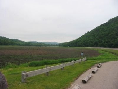
4. The Lower Narrows
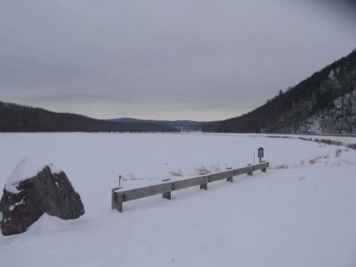
Photographed by Robert L Weber, January 9, 2009
5. The Lower Narrows
Credits. This page was last revised on November 9, 2023. It was originally submitted on December 3, 2007, by Keith L of Wisconsin Rapids, Wisconsin. This page has been viewed 5,133 times since then and 407 times this year. Photos: 1. submitted on May 24, 2021, by Paul Fehrenbach of Richfield, Wisconsin. 2. submitted on June 16, 2009, by Keith L of Wisconsin Rapids, Wisconsin. 3. submitted on December 27, 2010, by Bob (peach) Weber of Dewey, Arizona. 4. submitted on June 16, 2009, by Keith L of Wisconsin Rapids, Wisconsin. 5. submitted on December 27, 2010, by Bob (peach) Weber of Dewey, Arizona. • J. J. Prats was the editor who published this page.
