Near Stafford in Stafford County, Virginia — The American South (Mid-Atlantic)
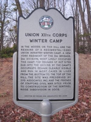
Union XIIth Corps Winter Camp
Erected 2006 by FSCWS, Syg Associates Inc.
Topics. This historical marker is listed in these topic lists: Forts and Castles • War, US Civil. A significant historical year for this entry is 2005.
Location. 38° 23.148′ N, 77° 19.966′ W. Marker is near Stafford, Virginia, in Stafford County. Marker is at the intersection of Brooke Crest Lane and Camp Geary Road, on the right when traveling north on Brooke Crest Lane. Touch for map. Marker is at or near this postal address: 5700 Camp Geary Ln, Stafford VA 22554, United States of America. Touch for directions.
Other nearby markers. At least 8 other markers are within walking distance of this marker. Redoubt # 2 (approx. 0.4 miles away); Union Redoubt # 3 (approx. 0.6 miles away); Mason's Homestead (approx. 0.7 miles away); Aquia Landing (approx. 0.7 miles away); a different marker also named Aquia Landing (approx. 0.7 miles away); History of the Patawomeck Indians (approx. ¾ mile away); a different marker also named Aquia Landing (approx. 0.8 miles away); Battle of Aquia Landing (approx. 0.8 miles away). Touch for a list and map of all markers in Stafford.

Photographed By Kevin W., February 6, 2011
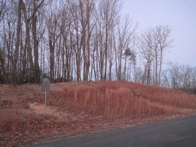
3. Remains of hut sites on the hill behind the marker
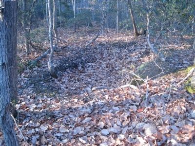
A pit behind the marker, likely from a Civil War camp hut. Building a hut started with a cellar dug the full length and width, about two feet deep. Walls were often made from wood, mud, stone, brick and usually had a canvas roof.
Credits. This page was last revised on June 22, 2022. It was originally submitted on January 8, 2011, by Kevin W. of Stafford, Virginia. This page has been viewed 969 times since then and 26 times this year. Photos: 1, 2. submitted on January 8, 2011, by Kevin W. of Stafford, Virginia. 3. submitted on February 6, 2011, by Kevin W. of Stafford, Virginia. • Craig Swain was the editor who published this page.
Editor’s want-list for this marker. Pictures of the camp remains. • Can you help?

