Sperry in Tulsa County, Oklahoma — The American South (West South Central)
Battle of Chusto-Talasah
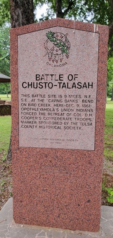
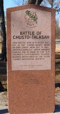
This battle site is 9 miles NE., SE at the Caving Banks Bend on Bird Creek. Here Dec. 9, 1861 Opothleyahola's Union Indians forced the retreat of Col. D.H. Cooper's Confederate troops. Marker sponsored by the Tulsa Historical Society.
Erected 1995 by Tulsa Historical Society. (Marker Number 171.)
Topics and series. This historical marker is listed in this topic list: War, US Civil. In addition, it is included in the Oklahoma Historical Society series list. A significant historical month for this entry is December 1903.
Location. 36° 17.77′ N, 95° 58.487′ W. Marker is in Sperry, Oklahoma, in Tulsa County. Marker is at the intersection of West Detroit Street (Oklahoma Route 11) and East 98th Street, on the right when traveling north on West Detroit Street. Marker is in Mack Taylor Park off OK-11, between Peoria Ave and East 98th St. Touch for map. Marker is in this post office area: Sperry OK 74073, United States of America. Touch for directions.
Other nearby markers. At least 8 other markers are within 9 miles of this marker, measured as the crow flies. Battle of Chusto-Talasah or "Caving Banks" (approx. 1.7 miles away); Battle of Chustenahlah (approx. 6.9 miles away); Colonial Garden (approx. 8.8 miles away); Simón Bolívar (approx. 8.8 miles away); The Gillies (approx. 8.8 miles away); Hillside Mission (approx. 8.8 miles away); Veterans Building (approx. 9.1 miles away); War Memorial (approx. 9.1 miles away).
Credits. This page was last revised on March 25, 2024. It was originally submitted on January 8, 2011, by Tim Connor of Owasso, Oklahoma. This page has been viewed 1,403 times since then and 41 times this year. Photos: 1. submitted on June 5, 2023, by Andrew Foreman of Broken Arrow, Oklahoma. 2. submitted on January 8, 2011, by Tim Connor of Owasso, Oklahoma. • Craig Swain was the editor who published this page.
Editor’s want-list for this marker. A photo of the marker and the surrounding area in context. • Can you help?

