Mount Pleasant in Charleston County, South Carolina — The American South (South Atlantic)
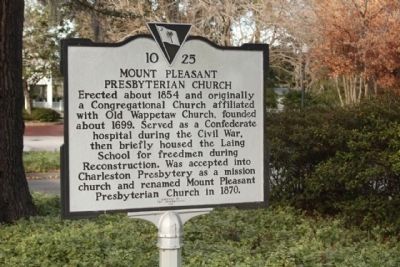
Mount Pleasant Presbyterian Church
Photographed by Mike Stroud, January 2011
1. Mount Pleasant Presbyterian Church Marker
Erected 1996 by The Congregation. (Marker Number 10-25.)
Topics. This historical marker is listed in these topic lists: Religion & Religious Structures • War, US Civil. A significant historical year for this entry is 1854.
Location. 32° 47.359′ N, 79° 52.692′ W. Marker is in Mount Pleasant, South Carolina, in Charleston County. It is on Hibben Street near Church Street, on the right when traveling west. Touch for map. Marker is at or near this postal address: 302 Hibben Steet, Mount Pleasant SC 29464, United States of America. Touch for directions.

Regionally, this marker is in the Lowcountry. It is also in the American South, specifically in the Deep South, and on the Eastern Seaboard. Globally, it is in the North Atlantic Region, North America, the Western
this page online
Other nearby markers. At least 8 other markers are within walking distance of this marker: The Ferry Tract (about 600 feet away, measured in a direct line); The Whilden House / 54th Massachusetts Regiment (about 700 feet away); Etiwan Masonic Lodge (about 800 feet away); St. Andrew's Church (approx. 0.2 miles away); Hibben House (approx. 0.2 miles away); Hibben House / British Occupation (approx. 0.2 miles away); Pitt Street Merchants (approx. 0.2 miles away); Mount Pleasant Home for Destitute Children (approx. 0.2 miles away). Touch for a list and map of all markers in Mount Pleasant.
Related markers. Click here for a list of markers that are related to this marker. the relationship, other mentioned sites
Photographed by Mike Stroud, January 2011
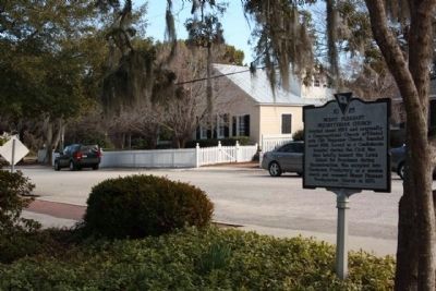
2. Mount Pleasant Presbyterian Church Marker, along Hibben Street
Photographed by Mike Stroud, January 2011
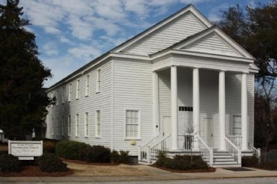
3. Mount Pleasant Presbyterian Church ,
its National Register of Historical Places medalion seen left of of doors
Photographed by Mike Stroud, January 2011
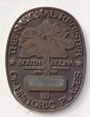
4. Mount Pleasant Presbyterian Church Marker, NRHP Medalion
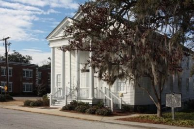
Photographed by Mike Stroud, January 9, 2011
5. Mount Pleasant Presbyterian Church and Marker
Credits. This page was last revised on November 2, 2020. It was originally submitted on January 9, 2011, by Mike Stroud of Bluffton, South Carolina. This page has been viewed 1,146 times since then and 33 times this year. Photos: 1, 2, 3, 4, 5. submitted on January 13, 2011, by Mike Stroud of Bluffton, South Carolina.
