Spirit Mound
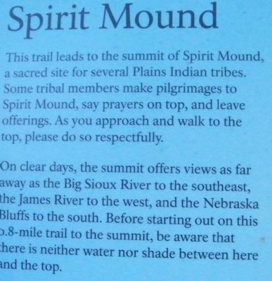
On clear days, the summit offers views as far away as the Big Sioux River to the southeast, the James River to the west, and the Nebraska Bluffs to the south. Before starting out on this 0.8-mile trail to the summit, be aware that there is neither water nor shade between here and the top.
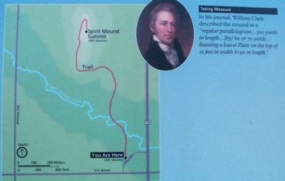
INSET - Taking Measure: In his journal, William Clark described the mound as a "regular parallelagram...300 yards in length...[by] 60 or 70 yards...leaveing a leavel Plain on the top of 12 feet in width & 90 in length."
TRAIL MAP - Indicates that the sign is situated at 1200' elevation and the Spirit Mound Summit is at 1300' elevation. The trail crosses Spirit Mound Creek.
Erected by Spirit Mound Trust; South Dakota Department of Game, Fish and Parks; and National Park Service, U.S. Department of the Interior. The sign is a part of the Missouri National Recreational River series.
Topics and series. This historical marker is listed in these topic lists: Exploration • Native Americans
Location. 42° 52.057′ N, 96° 57.366′ W. Marker is near Vermillion, South Dakota, in Clay County. Marker is on State Highway 19, 0.1 miles north of 312th Street, on the left when traveling north. The sign is one of several at a small asphalt pull-off loop road with a sign stating "Welcome to Spirit Mound Historic Prairie". Touch for map. Marker is in this post office area: Vermillion SD 57069, United States of America. Touch for directions.
Other nearby markers. At least 8 other markers are within walking distance of this marker. From Lewis and Clark to the Future (here, next to this marker); Lewis and Clark Were Here...and Here... (a few steps from this marker); Lewis and Clark Visit Spirit Mound (a few steps from this marker); Hill of Little Spirits (about 500 feet away, measured in a direct line); Spirit Mound Monument (about 500 feet away); Daughters of the American Revolution Spirit Mound Monument (about 500 feet away); Canotina Paha | Mountain of Little People (about 700 feet away); Hill of Chalk (approx. 0.3 miles away). Touch for a list and map of all markers in Vermillion.
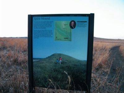
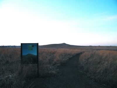
More about this marker. This sign is located at the head of the trail to the Spirit Mound.
Credits. This page was last revised on June 16, 2016. It was originally submitted on January 14, 2011, by Rich Pfingsten of Forest Hill, Maryland. This page has been viewed 1,022 times since then and 17 times this year. Photos: 1, 2, 3, 4. submitted on January 14, 2011, by Rich Pfingsten of Forest Hill, Maryland. • Bill Pfingsten was the editor who published this page.


