Near Wheeless in Cimarron County, Oklahoma — The American South (West South Central)
Fort Nichols
7 mi S.W.
Inscription.
Established in May 1865, by Kit Carson, hero of Valverde and Brig. Gen., New Mexico Volunteers, to guard Santa Fe Trail and furnish escorts for caravans engaged in Santa Fe trade. Santa Fe Trail crossed this highway here and was first traveled by William Becknell's expedition from Missouri in 1823.
Erected 1963 by Oklahoma Historical Society.
Topics and series. This historical marker is listed in these topic lists: Forts and Castles • Roads & Vehicles. In addition, it is included in the Oklahoma Historical Society, and the Santa Fe Trail series lists. A significant historical month for this entry is May 1865.
Location. 36° 47.198′ N, 102° 48.307′ W. Marker is near Wheeless, Oklahoma, in Cimarron County. Marker is on 325 Highway, 3˝ miles north of E0190 Road, on the left when traveling north. Marker is located 0.5 miles south of the south entrance road into Black Mesa State Park. Touch for map. Marker is in this post office area: Boise City OK 73933, United States of America. Touch for directions.
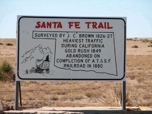
Other nearby markers. At least 2 other markers are within walking distance of this marker. Santa Fe Trail (a few steps from this marker); a different marker also named The Santa Fe Trail (a few steps from this marker).
Regarding Fort Nichols. Fort Nichols was built by New Mexico and California volunteers under the command of Col. Kit Carson to protect travelers on the Cimarron Cut-Off of the Santa Fe Trail from raids by the Kiowa and Comanche Indians. The fort was established in 1865 and abandoned the next year; it was the only manmade structure along the Cimarron Cut-Off while it was an active route. At its height, it included 25 buildings made of local sandstone, adobe and sod; but now only ruins remain. The site is located on private property and is not accessible to the public.
Additional keywords. Camp Nichols
Credits. This page was last revised on June 16, 2016. It was originally submitted on January 3, 2011, by Christopher Suttle of Norman, Oklahoma. This page has been viewed 1,526 times since then and 43 times this year. Last updated on January 18, 2011, by Christopher Suttle of Norman, Oklahoma. Photos: 1, 2, 3. submitted on January 3, 2011. • Kevin W. was the editor who published this page.


