Flovilla in Butts County, Georgia — The American South (South Atlantic)
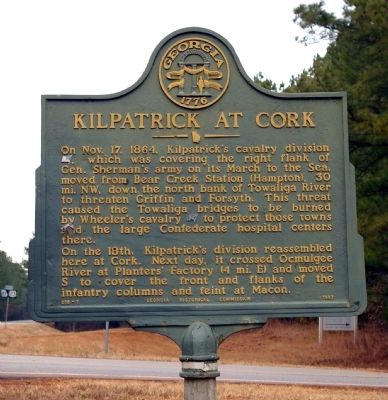
Kilpatrick at Cork
On the 18th, Kilpatrick's division reassembled here at Cork. Next day, it crossed Ocmulgee River at Planter’s Factory (4 mi. E) and moved S to cover the front and flanks of the infantry columns and feint at Macon.
Erected 1957 by Georgia Historical Commission. (Marker Number 018-7.)
Topics and series. This historical marker is listed in this topic list: War, US Civil. In addition, it is included in the Georgia Historical Society, and the Sherman’s March to the Sea series lists. A significant historical month for this entry is October 1920.
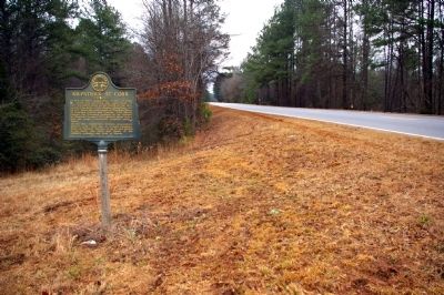
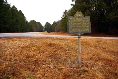
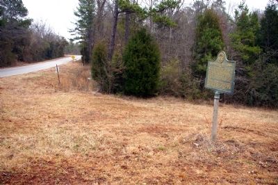
Location. 33° 13.057′ N, 83° 51.941′ W. Marker is in Flovilla, Georgia, in Butts County. Marker is at the intersection of U.S. 23 and Mount Pleasant Church Road, on the left when traveling south on U.S. 23. Touch for map. Marker is in this post office area: Flovilla GA 30216, United States of America. Touch for directions.
Other nearby markers. At least 8 other markers are within 8 miles of this marker , measured as the crow flies. William McIntosh (approx. 3.7 miles away); Indian Springs (approx. 3.7 miles away); Sherman’s Right At Indian Springs (approx. 3.8 miles away); Indian Springs State Park (approx. 3.8 miles away); Indian Spring (approx. 3.8 miles away); “Idlewilde” (approx. 3.9 miles away); Iron Springs (approx. 5.4 miles away); Kilpatrick's Cavalry At The Towaliga River (approx. 7.9 miles away). Touch for a list and map of all markers in Flovilla.
Credits. This page was last revised on June 16, 2016. It was originally submitted on January 28, 2011, by David Seibert of Sandy Springs, Georgia. This page has been viewed 1,479 times since then and 41 times this year. Photos: 1, 2, 3, 4. submitted on January 28, 2011, by David Seibert of Sandy Springs, Georgia. • Craig Swain was the editor who published this page.


