Munfordville in Hart County, Kentucky — The American South (East South Central)
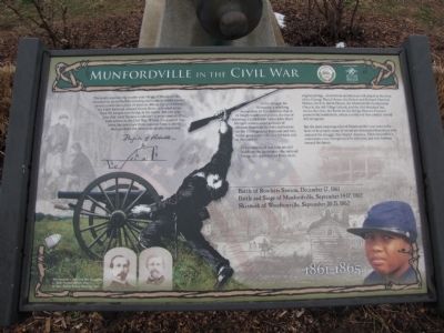
Munfordville in the Civil War
Photographed by Lee Hattabaugh, January 25, 2011
1. Munfordville in the Civil War Marker
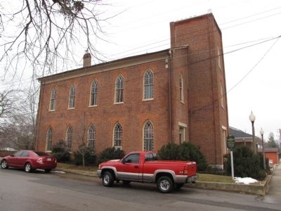
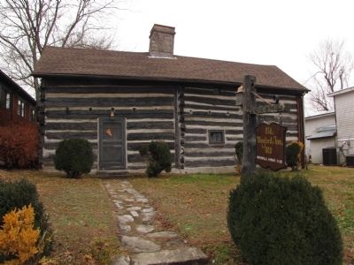
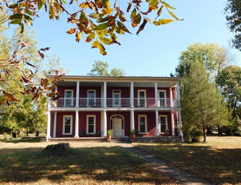
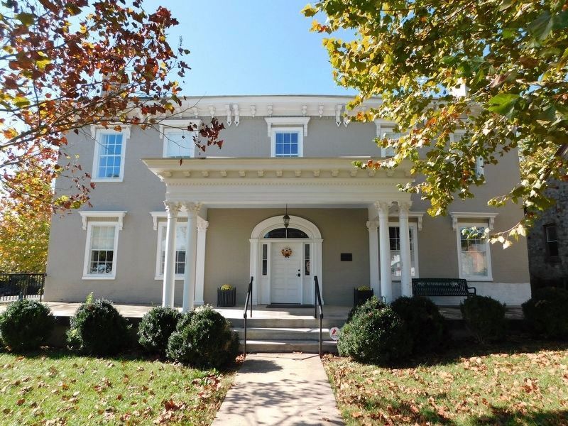
The remnants of that time are still visible on the landscape - the railroad bridge still spans Green River on it original pilings. Antebellum architecture still stands in the form of the George Wood House, the Robert and Richard Munford Homes, the F.A. Smith House, the Munfordville Presbyterian Church, the old Village
this page online
But the most enduring echo of Munfordville's war years is the faces of it people, many of whom are descended from those who endured the struggle that shaped America. Their eyes reflect a community one strengthened by adversity, and now looking toward the future.
Battle of Rowlett's Station, December 17, 1861
Battle and Siege of Munfordville, September 14-17, 1862
Skirmish of Woodsonville, September 20-21, 1862
Erected by City of Munfordville in cooperation with Battle fo the Bridge Historic Preserve.
Topics. This historical marker is listed in these topic lists: African Americans • Bridges & Viaducts • Railroads & Streetcars • War, US Civil. A significant historical date for this entry is September 14, 1950.
Location. 37° 16.293′ N, 85° 53.395′ W. Marker is in Munfordville, Kentucky, in Hart County. It is at the intersection of Dixie Highway / Main Street (U.S. 31W) and South Street, on the left when traveling south on Dixie Highway / Main Street. Located at
Photographed by Lee Hattabaugh, January 25, 2011
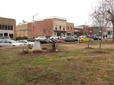
2. Munfordville in the Civil War Marker

Regionally, this marker is in Mammoth Cave Country and in the Pennyroyal Region. It is also in the American South and specifically in the Upper South. Globally, it is in North America, the Western Hemisphere, the Western World, and the Anglosphere. Historically, it finds itself in what was once the territory of the Mississippian Culture and also the Antebellum South.
Other nearby markers. At least 8 other markers are within walking distance of this marker: Civil War Monument (here, next to this marker); Hart County One-Room Schools (a few steps from this marker); A Remarkable Kentucky Family (a few steps from this marker); Hart County (within shouting distance of this marker); Remembering the Sacrifices of War (within shouting distance of this marker); Hart County War Memorial (within shouting distance of this marker); Hart County, 1819 (within shouting distance of this marker); William Boone's Grave (within shouting distance of this marker).
Photographed by Lee Hattabaugh, January 25, 2011
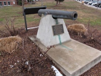
3. Munfordville in the Civil War Marker
The cannon is a replica.
Photographed by Lee Hattabaugh, January 25, 2011
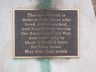
4. Munfordville Civil War Monument
This monument is dedicated to those how lived, loved, worked, and fought here during the American Civil War, and especially to those who died here, far from home. May they find peace.
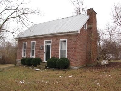
Photographed by Lee Hattabaugh, January 25, 2011
5. Robert Munford House
Also described as the J.T.S. and Elizabeth Brown House. Circa 1828.
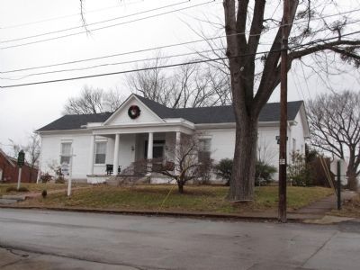
Photographed by Lee Hattabaugh, January 25, 2011
6. The Village School
Circa 1833
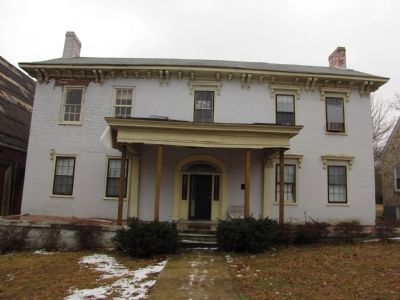
Photographed by Lee Hattabaugh, January 25, 2011
7. F.A. (Francis Asberry) Smith House
Circa 1835
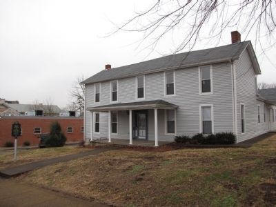
Photographed by Lee Hattabaugh, January 25, 2011
8. Thomas Munford House
Circa 1823
Photographed by Lee Hattabaugh, January 25, 2011
9. Munfordville Presbyterian Church
circa 1829.
Photographed by Lee Hattabaugh, January 25, 2011
10. Old Munford Inn
Circa 1810
Photographed by Bradley Owen, October 12, 2019
11. George Wood House
Circa 1834
Photographed by Bradley Owen, October 12, 2019
12. F.A. (Francis Asberry) Smith House
Circa 1835
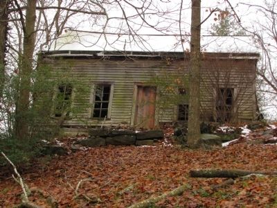
Photographed by Lee Hattabaugh, January 25, 2011
13. Elijah & Ermine Embry Creel House
Not listed on the marker, but another antebellum structure, circa 1810.
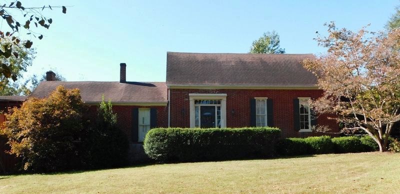
Photographed by Bradley Owen, October 12, 2019
14. Richard Munford House
Circa 1830, 101 South West Street. Occupied by Brigadier General R.W. Johnson during the Civil War.
Credits. This page was last revised on January 28, 2021. It was originally submitted on January 31, 2011, by Lee Hattabaugh of Capshaw, Alabama. This page has been viewed 2,157 times since then and 63 times this year. Photos: 1, 2, 3, 4, 5, 6, 7, 8, 9, 10. submitted on January 31, 2011, by Lee Hattabaugh of Capshaw, Alabama. 11, 12. submitted on January 20, 2021, by Bradley Owen of Morgantown, West Virginia. 13. submitted on January 31, 2011, by Lee Hattabaugh of Capshaw, Alabama. 14. submitted on January 27, 2021, by Bradley Owen of Morgantown, West Virginia. • Craig Swain was the editor who published this page.
