Near Munfordville in Hart County, Kentucky — The American South (East South Central)
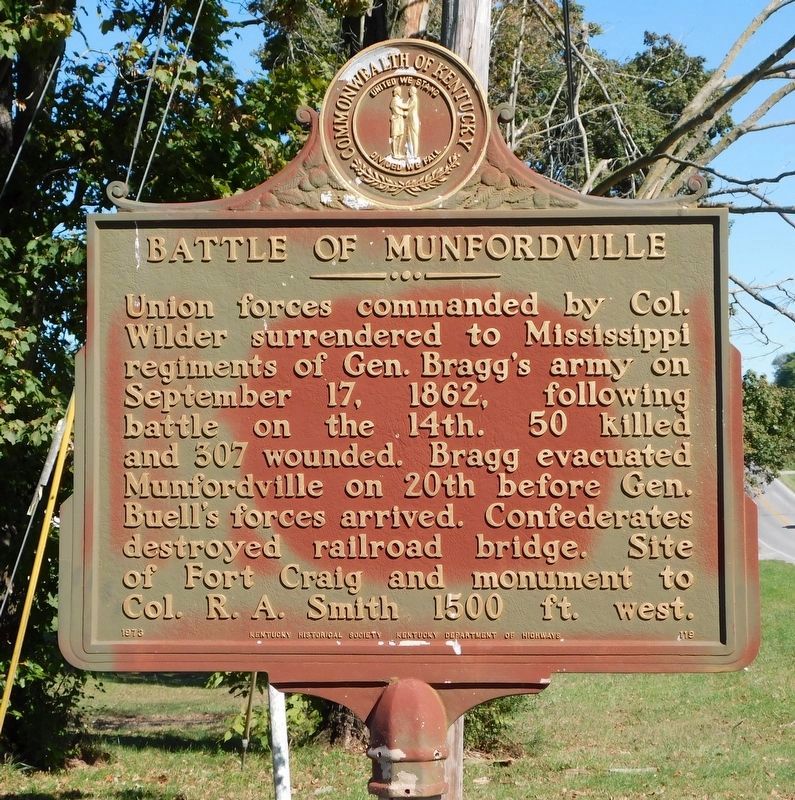
Battle of Munfordville
Erected 1973 by Kentucky Historical Society / Kentucky Department of Highways. (Marker Number 119.)
Topics and series. This historical marker is listed in this topic list: War, US Civil. In addition, it is included in the Kentucky Historical Society series list. A significant historical month for this entry is September 1861.
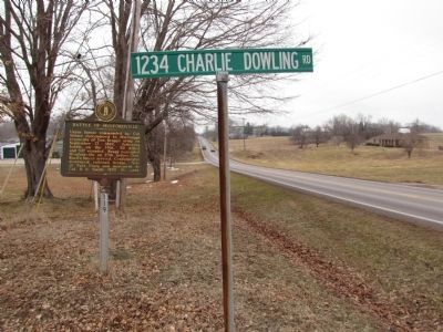
Location. 37° 15.2′ N, 85° 53.273′ W. Marker is near Munfordville, Kentucky, in Hart County. Marker is at the intersection of Dixie Highway (U.S. 31W) and Charlie Downing Road, on the right when traveling south on Dixie Highway. Touch for map. Marker is at or near this postal address: 29 Charlie Downing Road, Munfordville KY 42765, United States of America. Touch for directions.
Other nearby markers. At least 8 other markers are within walking distance of this marker. Battle of Rowletts Station (approx. 0.2 miles away); a different marker also named Battle of Rowletts Station (approx. ¼ mile away); Battle of Munfordville: Day 1 (approx. ¼ mile away); Anthony Woodson Farm (approx. ¼ mile away); The Woodson Farm (approx. ¼ mile away); Kentucky and the Western War (approx. ¼ mile away); The Raider (approx. ¼ mile away); Battle of Munfordville: Siege (approx. 0.3 miles away). Touch for a list and map of all markers in Munfordville.
Related markers. Click here for a list of markers that are related to this marker. There are two Kentucky Historical Society markers numbered 119. Both have the same title but different text. They are about a half mile apart.
Credits. This page was last revised on January 22, 2021. It was originally submitted on February 2, 2011, by Lee Hattabaugh of Capshaw, Alabama. This page has been viewed 1,215 times since then and 39 times this year. Photos: 1. submitted on January 20, 2021, by Bradley Owen of Morgantown, West Virginia. 2. submitted on February 2, 2011, by Lee Hattabaugh of Capshaw, Alabama. 3, 4. submitted on January 20, 2021, by Bradley Owen of Morgantown, West Virginia. • Craig Swain was the editor who published this page.


