Gardnerville in Douglas County, Nevada — The American Mountains (Southwest)
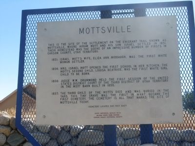
Mottsville
1851: Israel Mott's wife, Eliza Ann Middaugh, was the first white woman settler.
1854: Mrs. Israel Mott opened the first school in her kitchen. The Mott's second child, Louisa Beatrice, was the first white girl child to be born.
1856: Judge W.W. Drummond held the first session of the United States District Court of the Third District of Utah Territory in the Mott barn built in 1855.
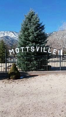
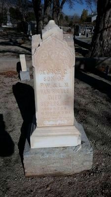
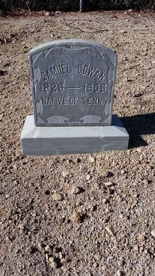
1857: The third child of the Motts died and was buried in the yard. This tiny grave was the first in what became the first cemetery. The cemetery, 300 feet east, is all that marks the site of Mottsville today.
Erected by the Nevada State Park System and the Carson Valley Historical Society. (Marker Number 121.)
Topics. This historical marker is listed in these topic lists: Cemeteries & Burial Sites • Settlements & Settlers. A significant historical year for this entry is 1851.
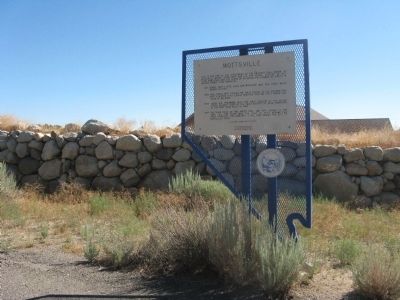
Location. 38° 55.864′ N, 119° 50.399′ W. Marker is in Gardnerville , Nevada, in Douglas County. Marker is on Foothill Road (Nevada Route 206) south of Mountain Reach Court, on the right when traveling north. Touch for map. Marker is at or near this postal address: 1279 Foothill Road, Gardnerville NV 89460, United States of America. Touch for directions.
Other nearby markers. At least 8 other markers are within 4 miles of this marker, measured as the crow flies. Hiram Mott (about 500 feet away, measured in a direct line); Sheridan (approx. 2.2 miles away); The Cary Mill (approx. 2.4 miles away); Kingsbury Grade (approx. 2.4 miles away); The Demise of Sam Brown (approx. 2.9 miles away); Walley's Hot Springs (approx. 3˝ miles away); Carson Trail - Hot Springs (approx. 3˝ miles away); Brockliss Road (approx. 3.6 miles away). Touch for a list and map of all markers in Gardnerville.
Also see . . . Mottsville Cemetery. Find-A-Grave posting of the cemetery. (Submitted on February 5, 2011.)
Credits. This page was last revised on June 16, 2016. It was originally submitted on February 5, 2011, by Syd Whittle of Mesa, Arizona. This page has been viewed 955 times since then and 33 times this year. Photos: 1, 2. submitted on February 5, 2011, by Syd Whittle of Mesa, Arizona. 3, 4, 5. submitted on November 15, 2015, by Syd Whittle of Mesa, Arizona.
