Hanging Rock in Roanoke County, Virginia — The American South (Mid-Atlantic)
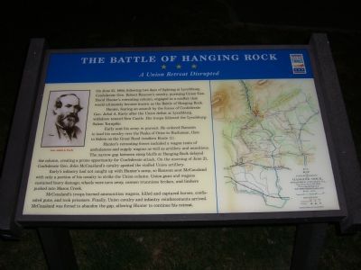
The Battle of Hanging Rock
A Union Retreat Disrupted
Hunter, fearing an assault by the forces of Confederate Gen. Jubal A. Early after the Union defeat at Lynchburg, withdrew toward New Castle. His troops followed the Lynchburg-Salem Turnpike.
Early sent his army in pursuit. He ordered Ransom to lead his cavalry over the Peaks of Otter to Buchanan, then to Salem on the Great Road (modern Route 11).
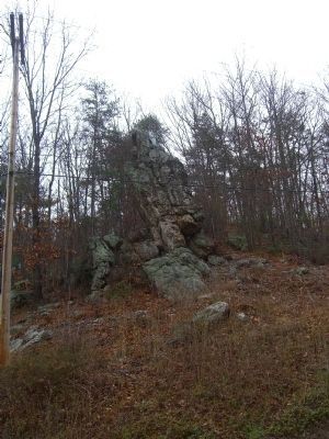
Hunter’s retreating forces included a wagon train of ambulances and supply wagons as well as artillery and munitions. The narrow gap between step bluffs at Hanging Rock delayed the column, creating a prime opportunity for Confederate attack. On the morning of June 21, Confederate Gen. John McCausland’s cavalry spotted the stalled Union artillery.
Early’s infantry had not caught up with Hunter’s army, so Ransom sent McCausland with only a portion of his cavalry to strike the Union column. Union guns and wagons sustained heavy damage; wheels were torn away, cannon trunnions broken, and limbers pushed into Mason Creek.
McCausland’s troops burned ammunition wagons, killed and captured horses, confiscated guns, and took prisoners. Finally, Union cavalry and infantry reinforcements arrived. McCausland was forced to abandon the gap, allowing Hunter to continue his retreat.
Erected by Virginia Civil War Trails.
Topics and series. This historical marker is listed in these topic lists: Military • War, US Civil. In addition, it is included in the Virginia Civil War Trails series list. A significant historical month for this entry is June 2000.
Location. 37° 19.677′ N, 80° 2.419′ W. Marker is in Hanging Rock, Virginia, in Roanoke County. Marker is on Dutch Oven Road near N. Electric Road (Virginia Route 419), on the right when traveling east. Touch for map. Marker is in this post office area: Salem VA 24153, United States of America. Touch for directions.
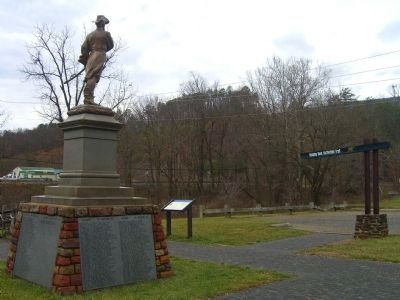
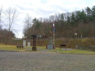
Other nearby markers. At least 8 other markers are within walking distance of this marker. George Morgan Jones (here, next to this marker); United Daughters of the Confederacy Monuments (here, next to this marker); Hanging Rock Battlefield Trail (here, next to this marker); a different marker also named Battle of Hanging Rock (about 300 feet away, measured in a direct line); McCausland Attacks (approx. 0.2 miles away); The Hanging Rock Coal Trestle (approx. 0.2 miles away); Two Future Presidents In Wartime Retreat (approx. ¼ mile away); Hanging Rock (approx. 0.4 miles away). Touch for a list and map of all markers in Hanging Rock.
More about this marker. On the left is a portrait of Gen. Early. The right side displays a map of the battle area from the Official Records of the War of the Rebellion, drawn by famous Confederate topographical engineer Jed Hotchkiss.
Credits. This page was last revised on June 16, 2016. It was originally submitted on December 6, 2007, by Kevin W. of Stafford, Virginia. This page has been viewed 6,607 times since then and 242 times this year. Photos: 1. submitted on December 6, 2007, by Kevin W. of Stafford, Virginia. 2, 3. submitted on December 28, 2008, by Kevin W. of Stafford, Virginia. 4. submitted on December 29, 2008, by Kevin W. of Stafford, Virginia. • Craig Swain was the editor who published this page.


