Stafford in Stafford County, Virginia — The American South (Mid-Atlantic)
Early Escape Route
Trail to Freedom
Photographed by Kevin W., February 19, 2011
1. Early Escape Route Marker
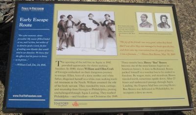
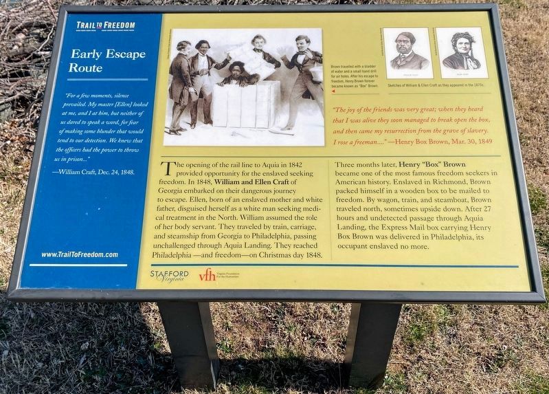
The opening of the rail line to Aquia in 1842 provided opportunity for slaves seeking freedom. In 1848, slaves William and Ellen Craft of Georgia embarked on their dangerous journey to escape. Ellen, born of a slave mother and a white father, disguised herself as a white man seeking medical treatment in the North. William assumed the role of her body servant. They traveled by train, carriage, and steamship from Georgia to Philadelphia, passing unchallenged through Aquia Landing. They reached Philadelphia — and freedom — on Christmas day 1848.
Three months later, Henry "Box" Brown became one of the most famous fugitives in American history. A slave in Richmond, Brown packed himself in a wooden box to be mailed to freedom. By wagon, train, and steamboat, Brown traveled north, sometimes upside down. After 27 hours and undetected passage
this page online
"The joy of the friends was very great; when they heard that I was alive they soon managed to break open the box, and then came my resurrection from the grave of slavery. I rose a freeman...." —Henry Box Brown, Mar. 30, 1849
Erected 2011 by Stafford County and the Virginia Foundation for the Humanities.
Topics. This historical marker is listed in these topic lists: African Americans • Civil Rights. A significant historical date for this entry is March 30, 1841.
Location. 38° 23.372′ N, 77° 18.945′ W. Marker is in Stafford, Virginia, in Stafford County. It is on Brooke Road (County Route 608). Marker is in Aquia Landing County Park (formerly Aquia-Po Beach Park). Touch for map. Marker is at or near this postal address: 2846 Brooke Rd, Stafford VA 22554, United States of America. Touch for directions.

Regionally, this marker is in the Washington Metropolitan Area, in Northern Virginia, and in the Piedmont. It is also in the American South, specifically in the Upper South, in the Mid-Atlantic, and on
Photographed by Shane Oliver, March 5, 2022
2. Early Escape Route Marker
Text has been updated slightly. The word "slave" has been replaced with "enslaved".
Other nearby markers. At least 8 other markers are within walking distance of this marker: Steamships, Stages and Slave Trade (here, next to this marker); Gateway to Freedom (here, next to this marker); Aquia Landing (here, next to this marker); a different marker also named Aquia Landing (within shouting distance of this marker); Patawomeck Tribe Village (approx. ¼ mile away); a different marker also named Aquia Landing (approx. half a mile away); History of the Patawomeck Indians (approx. half a mile away); a different marker also named Aquia Landing (approx. 0.6 miles away). Touch for a list and map of all markers in Stafford.
Also see . . . Trail to Freedom web site. (Submitted on February 7, 2011, by Kevin W. of Stafford, Virginia.)
Photographed by Kevin W., February 19, 2011
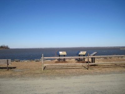
3. Three Trail to Freedom markers are collocated here.
The Early Escape Route Marker is the one in the middle.
Credits. This page was last revised on July 14, 2026. It was originally submitted on February 6, 2011, by Kevin W. of Stafford, Virginia. This page has been viewed 1,647 times since then and 45 times this year. Photos: 1. submitted on February 6, 2011, by Kevin W. of Stafford, Virginia. 2. submitted on May 23, 2022, by Shane Oliver of Richmond, Virginia. 3. submitted on February 6, 2011, by Kevin W. of Stafford, Virginia.
