Stafford in Stafford County, Virginia — The American South (Mid-Atlantic)
Gateway to Freedom
Trail to Freedom
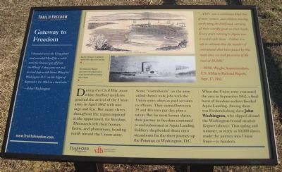
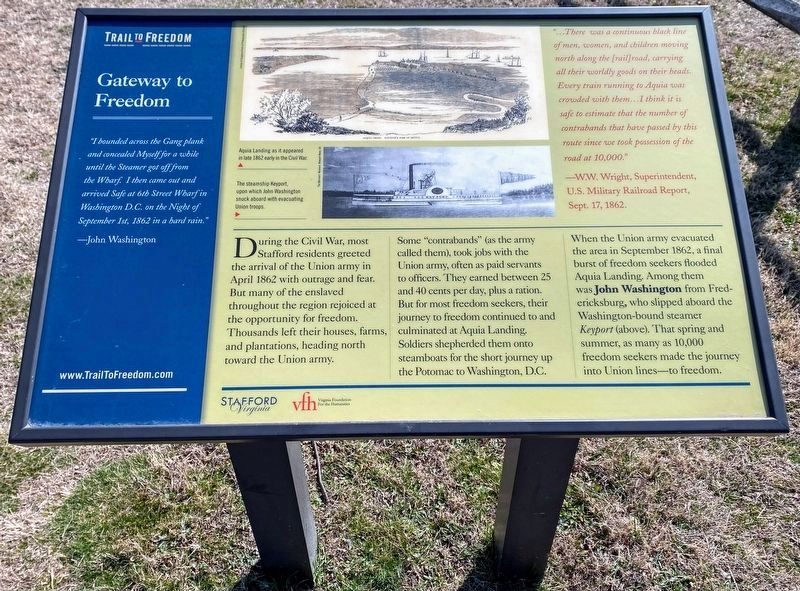
During the Civil War, most white Stafford residents greeted the arrival of the Union army in April 1862 with outrage and fear. But many slaves throughout the region rejoiced at the opportunity for freedom. Thousands left their houses, farms, and plantation, heading north toward the Union army.
Some "contrabands" (as the army called them), took jobs with the Union army, often as paid servants to officers. They earned between 25 and 40 cents per day, plus a ration. But for most former slaves, their journey to freedom continued to and culminated a Aquia Landing. Soldiers shepherded them onto steamboats for the short journey up the Potomac to Washington, D.C.
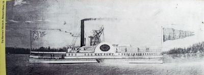
When the Union army evacuated the area in September 1862, a final burst of freedom-seekers flooded Aquia Landing. Among them was Fredericksburg slave John Washington, who slipped aboard the Washington-bound steamer Keyport (above). That spring and summer, as many as 10,000 slaves made the journey into Union lines—to freedom.
…There was a continuous black line of men, women, and children moving north along the [rail]road, carrying all their worldly goods on their heads. Every train running to Aquia was crowded with them…I think it is safe to estimate that the number of contrabands that have passed by this route since we took possession of the road at 10,000."
—W.W. Wright, Superintendent, U.S. Military Railroad Report, Sept. 17, 1862.
Erected 2011 by Stafford County and the Virginia Foundation for the Humanities.
Topics. This historical marker is listed in these topic lists: African Americans • Civil Rights. A significant historical month for this entry is April 1862.
Location. 38° 23.372′ N, 77° 18.945′ W. Marker is in Stafford, Virginia, in Stafford County. Marker is on Brooke Road (County Route 608). Marker is in Aquia Landing County Park (formerly Aquia-Po Beach Park). Touch for map. Marker is at or near this postal address: 2846 Brooke Rd, Stafford VA 22554, United States of America. Touch for directions.
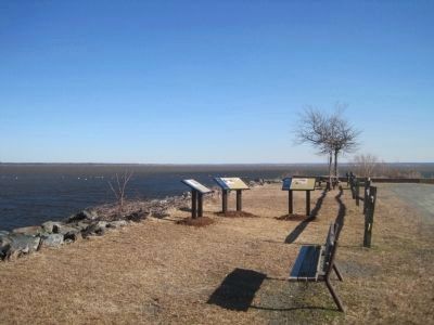
Other nearby markers. At least 8 other markers are within walking distance of this marker. Steamships, Stages and Slave Trade (here, next to this marker); Early Escape Route (here, next to this marker); Aquia Landing (here, next to this marker); a different marker also named Aquia Landing (within shouting distance of this marker); Patawomeck Tribe Village (approx. ¼ mile
Photographed By Kevin W., February 19, 2011
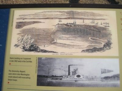
2. Pictures on the Gateway to Freedom Marker
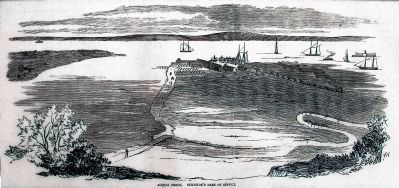
The top picture is of "Aquia Landing as it appeared in late 1862 early in the Civil War."
The picture was provided for use on the marker by the Library of Congress Prints and Photographs Division.
The second picture is of the, "steamship Keyport, upon which John Washington snuck aboard with evacuating Union troops." The picture of the Keyport was provided for use on the marker by The Mariners' Museum, Newport News, VA.
Also see . . . Trail to Freedom web site. (Submitted on February 8, 2011, by Kevin W. of Stafford, Virginia.)
Credits. This page was last revised on May 24, 2022. It was originally submitted on February 6, 2011, by Kevin W. of Stafford, Virginia. This page has been viewed 830 times since then and 26 times this year. Photos: 1, 2. submitted on February 6, 2011, by Kevin W. of Stafford, Virginia. 3. submitted on May 23, 2022, by Shane Oliver of Richmond, Virginia. 4. submitted on February 6, 2011, by Kevin W. of Stafford, Virginia. 5, 6. submitted on February 17, 2013, by Allen C. Browne of Silver Spring, Maryland.
