Near Kingstree in Williamsburg County, South Carolina — The American South (South Atlantic)
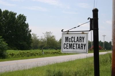
McClary Cemetery
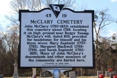
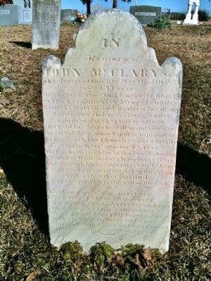
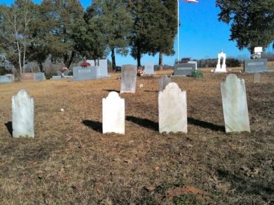
John McClary (1760-1833) established this cemetery about 1789, locating it on high ground near Boggy Swamp. McClary’s will, dated 1831, provided for headstones for himself and his three wives: Mary Raphield (1757-1792), Margaret Blackwell (1769-1799), and Sarah Raphield (1760-1815). Many of John McClary’s descendants and other members of the community are buried here.
(Continued on other side)
[reverse]
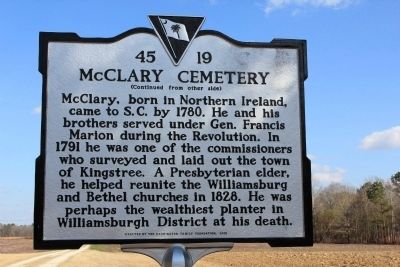
(Continued from other side)
McClary, born in Northern Ireland, came to S.C. by 1780. He and his brothers served under Gen. Francis Marion during the Revolution. In 1791 he was one of the commissioners who surveyed and laid out the town of Kingstree. A Presbyterian elder, he helped reunite the Williamsburg and Bethel churches in 1828. He was perhaps the wealthiest planter in Williamsburgh District at his death.
Erected 2010 by The Harrington Family Foundation. (Marker Number 45-19.)
Topics. This historical marker is listed in these topic lists: Cemeteries & Burial Sites • Settlements & Settlers • War, US Revolutionary. A significant historical year for this entry is 1789.
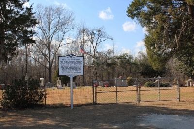
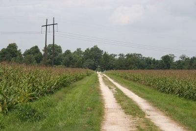
Location. 33° 37.874′ N, 79° 46.509′ W. Marker is near Kingstree, South Carolina, in Williamsburg County. Marker can be reached from Simms Reach Road (County Road S-45-28) 0.6 miles south of Thurgood Marshall l Highway (State Highway 527). Marker is located in front of the cemetery which is about 300 yards west of Simms Reach Rd. Touch for map. Marker is in this post office area: Kingstree SC 29556, United States of America. Touch for directions.
Other nearby markers. At least 8 other markers are within 4 miles of this marker, measured as the crow flies. Benevolent Societies Hospital (approx. 3.4 miles away); Captain Roger Gordon (approx. 3½ miles away); John Witherspoon (approx. 3½ miles away); "Let Us March on Ballot Boxes" (approx. 3.6 miles away); Stephen A. Swails House (approx. 3.7 miles away); Tomlinson School (approx. 3.7 miles away); Lower Bridge: Take the Low Ground! (approx. 3.9 miles away); Battle Of Lower Bridge (approx. 3.9 miles away). Touch for a list and map of all markers in Kingstree.
Credits. This page was last revised on June 16, 2016. It was originally submitted on February 25, 2011, by David Bullard of Seneca, South Carolina. This page has been viewed 1,752 times since then and 40 times this year. Photos: 1, 2, 3, 4, 5, 6, 7. submitted on February 25, 2011, by David Bullard of Seneca, South Carolina. • Bernard Fisher was the editor who published this page.
