Near Kenefic in Bryan County, Oklahoma — The American South (West South Central)
Nail's Crossing
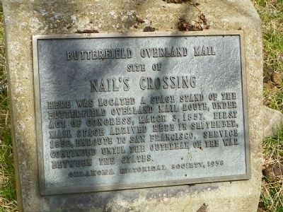
Butterfield Overland Mail
site of
Nail's Crossing
Erected 1958 by Oklahoma Historical Society.
Topics and series. This historical marker is listed in these topic lists: Communications • Roads & Vehicles. In addition, it is included in the Butterfield Overland Mail, and the Oklahoma Historical Society series lists. A significant historical date for this entry is March 3, 1857.
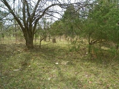
Location. 34° 7.874′ N, 96° 23.43′ W. Marker is near Kenefic, Oklahoma, in Bryan County. Marker can be reached from Nails Crossing Road, on the right when traveling west. Located well off the road behind Nails Cemetery. Touch for map. Marker is in this post office area: Kenefic OK 74748, United States of America. Touch for directions.
Other nearby markers. At least 8 other markers are within 9 miles of this marker, measured as the crow flies. Fort McCulloch (approx. 1˝ miles away); W.O.W. Building (approx. 7.4 miles away); Cowboy Pink Williams (approx. 7˝ miles away); Craighead's 5 & 10 Store (approx. 7˝ miles away); Ben Siegel Building (approx. 7˝ miles away); Hancock Building (approx. 7˝ miles away); Chickasaw Trail of Tears (approx. 9 miles away); Colbert Family (approx. 9.1 miles away).
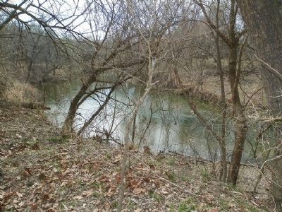
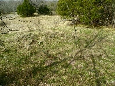
More about this marker. Nail's Crossing and related sites are on private property.
Credits. This page was last revised on September 24, 2020. It was originally submitted on March 6, 2011. This page has been viewed 1,999 times since then and 70 times this year. Photos: 1, 2, 3, 4. submitted on March 6, 2011, by Craig Swain of Leesburg, Virginia.


