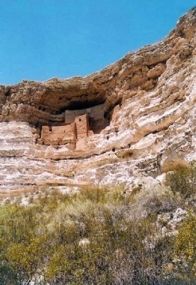
Montezuma Castle National Monument in Yavapai County, Arizona — The American Mountains (Southwest)
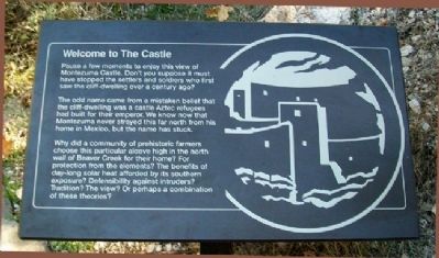
Welcome to The Castle
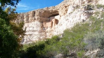
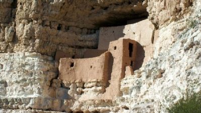
Pause a few moments to enjoy this view of Montezuma Castle. Don't you suppose it must have stopped the settlers and soldiers who first saw the cliff-dwelling over a century ago?
The odd name came from a mistaken belief that the cliff-dwelling was a castle Aztec refugees had built for their emperor. We know now that Montezuma never strayed this far north from his home in Mexico, but the name has stuck.
Why did a community of prehistoric farmers choose this particular alcove high in the north wall of Beaver Creek for their home? For protection from the elements? The benefits of day-long solar heat afforded by its southern exposure? Defensibility against intruders? Tradition? The view? Or perhaps a combination of these theories?
Erected by National Park Service.
Topics. This historical marker is listed in these topic lists: Anthropology & Archaeology • Native Americans • Settlements & Settlers.
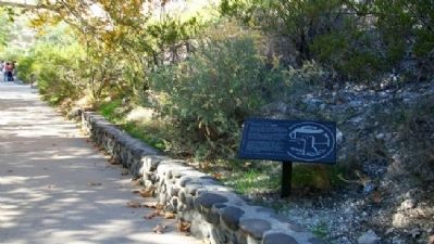
Location. 34° 36.718′ N, 111° 50.463′ W. Marker is in Montezuma Castle National Monument, Arizona, in Yavapai County. Marker is along the walking trail leading from the visitor center. Touch for map. Marker is at or near this postal address: Montezuma Castle Road, Camp Verde AZ 86322, United States of America. Touch for directions.
Other nearby markers. At least 8 other markers are within 3 miles of this marker, measured as the crow flies. The Community (within shouting distance of this marker); The Way Up / Construction Sequence (within shouting distance of this marker); Macaw Pen Stone? (about 300 feet away, measured in a direct line); The Neighborhood / Mysterious Departures (about 400 feet away); The People Next Door (about 500 feet away); Lifeline / Prehistoric Produce (about 500 feet away); Pecan Lane Rural Historic Landscape (approx. 2.7 miles away); Chaves Historic Trail (approx. 2.9 miles away). Touch for a list and map of all markers in Montezuma Castle National Monument.
Also see . . . Montezuma Castle National Monument. (Submitted on March 12, 2011, by William Fischer, Jr. of Scranton, Pennsylvania.)
Credits. This page was last revised on June 16, 2016. It was originally submitted on March 12, 2011, by William Fischer, Jr. of Scranton, Pennsylvania. This page has been viewed 811 times since then and 13 times this year. Photos: 1, 2, 3, 4. submitted on March 12, 2011, by William Fischer, Jr. of Scranton, Pennsylvania. 5. submitted on March 12, 2011, by Mike Stroud of Bluffton, South Carolina.
