Attapulgus in Decatur County, Georgia — The American South (South Atlantic)
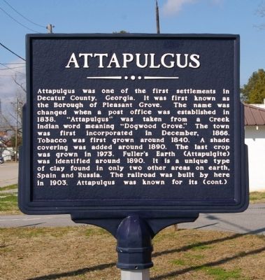
Attapulgus
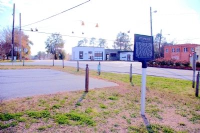
Attapulgus was one of the first settlements in Decatur County, Georgia. It was first known as the Borough of Pleasant Grove. The name was changed when a post office was established in 1838. “Attapulgus” was taken from a Creek Indian word meaning “Dogwood Grove.” The town was first incorporated in December, 1866. Tobacco was first grown around 1840. A shade covering was added around 1890. The last crop was grown in 1973. Fuller’s Earth (Attapulgite) was identified around 1890. It is a unique type of clay found in only two other areas on earth, Spain and Russia. The railroad was built by here in 1903. Attapulgus was known for its (cont.)
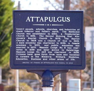
(cont.) people, schools, churches, and industries of shade tobacco and fuller's earth. The Methodist Church was established in 1830, a Presbyterian Church in 1852, The Second Morning Star Missionary Baptist Church in 1878, The Baptist Church in 1928 and a Church of God in 1949. A male academy was chartered in 1838, a female academy in 1853, and public education was enacted in 1870. Masonic Lodge No. 8 was chartered in 1839 and later moved to Bainbridge. Masonic Lodge No. 225 was chartered in 1858. Citizens have gone forth from here and excelled in careers in the Ministry, Military, Medicine, Education, Business and other areas of life.
Erected 2006 by Friends of Attapulgus High School.
Topics. This historical marker is listed in these topic lists: Agriculture • Churches & Religion • Settlements & Settlers. A significant historical month for this entry is December 1866.
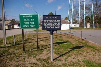
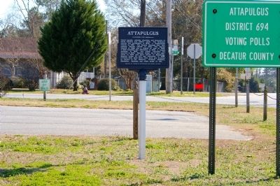
Location. 30° 44.953′ N, 84° 29.031′ W. Marker is in Attapulgus, Georgia, in Decatur County. Marker is at the intersection of East Griffin Avenue (Business U.S. 27) and North Main Street, on the right when traveling west on East Griffin Avenue. Touch for map. Marker is in this post office area: Attapulgus GA 39815, United States of America. Touch for directions.
Other nearby markers. At least 8 other markers are within 9 miles of this marker, measured as the crow flies. Attapulgite / Fullers Earth (about 700 feet away, measured in a direct line); Attapulgus High School (approx. 0.2 miles away); Attapulgus Cemetery Inc. (approx. 0.3 miles away); Attapulgus Presbyterian Cemetery (approx. 0.3 miles away); Amsterdam, Georgia / Shade Grown Tobacco (approx. 3.4 miles away); Gragg Lumber Company (approx. 3.4 miles away); The Village, the Pits, and the Dumps (approx. 3.4 miles away); Charles James Munnerlyn / “Refuge” (approx. 8.1 miles away). Touch for a list and map of all markers in Attapulgus.
Credits. This page was last revised on June 6, 2020. It was originally submitted on March 15, 2011, by David Seibert of Sandy Springs, Georgia. This page has been viewed 1,270 times since then and 122 times this year. Photos: 1, 2, 3, 4, 5. submitted on March 15, 2011, by David Seibert of Sandy Springs, Georgia. • Bernard Fisher was the editor who published this page.
