Hokes Bluff in Etowah County, Alabama — The American South (East South Central)
John Henry Wisdom
(The Paul Revere Of The Confederacy)
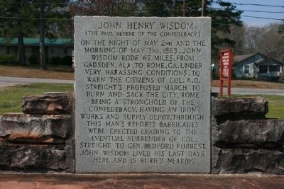
Photographed by Tim & Renda Carr, March 19, 2011
1. John Henry Wisdom Marker
Erected 1961 by Erected by Citizens of Etowah County, City of Rome, Ga., Etowah Historical Society.
Topics. This historical marker is listed in this topic list: War, US Civil. A significant historical date for this entry is May 2, 1863.
Location. 33° 59.556′ N, 85° 51.943′ W. Marker is in Hokes Bluff, Alabama, in Etowah County. It is at the intersection of Alford Bend Road and Gilliland Street, on the right when traveling north on Alford Bend Road. Marker located next to Hokes Bluff City Hall. Touch for map. Marker is at or near this postal address: 3301 Alford Bend Road, Gadsden AL 35903, United States of America. Touch for directions.

Regionally,
this page online
Other nearby markers. At least 8 other markers are within 8 miles of this marker, measured as the crow flies: Whites Chapel Cemetery (approx. 5.7 miles away); Turkey Town Monument (approx. 6.2 miles away); John H. Wisdom (approx. 7.8 miles away); Lynching in America / The Lynching of Bunk Richardson (approx. 7.8 miles away); Paul Harvey Loyalty Day (approx. 7.8 miles away); Tom Sims (approx. 7.8 miles away); Emma Sansom Monument (approx. 7.8 miles away); Gadsden, Alabama (approx. 7.8 miles away).
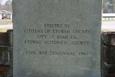
Photographed by Tim & Renda Carr, March 19, 2011
2. John Henry Wisdom Marker (Backside)
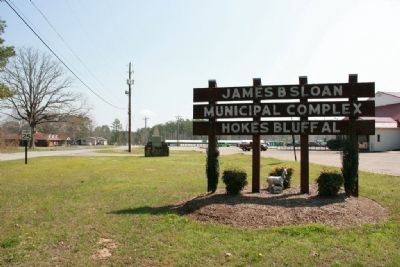
Photographed by Tim & Renda Carr, March 19, 2011
3. John Henry Wisdom Marker
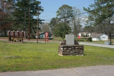
Photographed by Tim & Renda Carr, March 19, 2011
4. John Henry Wisdom Marker
Photographed by Tim & Renda Carr, March 19, 2011
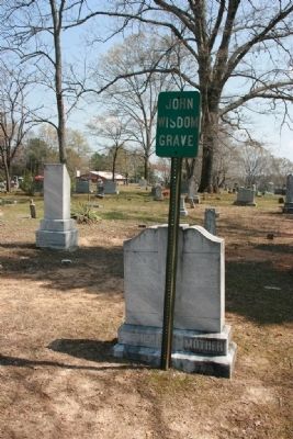
5. John Henry Wisdom Gravesite
John H. Wisdom gravesite located in the Hokes Bluff Cemetery next to the Hokes Bluff First Baptist Church 5052 Main Street.
Photographed by Tim & Renda Carr, March 19, 2011
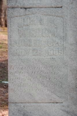
6. John Henry Wisdom Gravesite
Died July 28, 1909
Credits. This page was last revised on October 31, 2019. It was originally submitted on March 19, 2011, by Timothy Carr of Birmingham, Alabama. This page has been viewed 2,359 times since then and 67 times this year. Photos: 1, 2, 3, 4, 5, 6. submitted on March 19, 2011, by Timothy Carr of Birmingham, Alabama. • Craig Swain was the editor who published this page.
