Briarfield in Hampton, Virginia — The American South (Mid-Atlantic)
Aberdeen Gardens
Photographed by Bernard Fisher, July 31, 2010
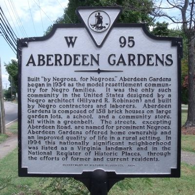
1. Aberdeen Gardens Marker
Built "by Negroes for Negroes," Aberdeen Gardens began in 1934 as the model resettlement community for Negro families. It was the only such community in the United States designed by a Negro architect (Hilyard R. Robinson) and built by Negro contractors and laborers. Aberdeen Gardens is composed of 158 brick houses on large garden lots, a school, and a community store, all within a greenbelt. The streets, excepting Aberdeen Road, are named for prominent Negroes. Aberdeen Gardens offered home ownership and an improved quality of life in a rural setting. In 1994 this nationally significant neighborhood was listed as a Virginia landmark and in the National Register of Historic Places, through the efforts of former and current residents.
Erected 1994 by Department of Historic Resources. (Marker Number W-95.)
Topics and series. This historical marker is listed in these topic lists: African Americans • Man-Made Features • Notable Places. In addition, it is included in the Virginia Department of Historic Resources (DHR) series list. A significant historical year for this entry is 1934.
Location. 37° 2.014′ N, 76° 24.359′ W.
this page online

Regionally, this marker is on Virginia’s Peninsula and in Coastal Virginia. It is also in the American South, specifically in the Upper South, in the Tidewater, and on the Eastern Seaboard. Globally, it is in the North Atlantic Region, North America, the Western Hemisphere, the Western World, and the Anglosphere. Historically, it finds itself in what was once the territory of the Mississippian Culture, one of the original Thirteen Colonies, one of the Confederate States of America, and the Antebellum South.
Other nearby markers. At least 8 other markers are within 3 miles of this marker, measured as the crow flies: The Beginnings of Aberdeen Gardens (about 800 feet away, measured in a direct line); Aberdeen Elementary School (approx. 0.2 miles away); The Original Cooperative Center (approx. 0.2 miles away); Once Hampton Institute's Farm
Photographed by Bernard Fisher, July 31, 2010
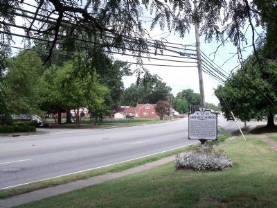
2. Aberdeen Rd (facing north)
Other markers no longer nearby. T-33A T-Bird (was approx. 2.3 miles away but has been permanently removed); Mercury Test Capsule (was approx. 2.3 miles away but has been confirmed missing).
Also see . . .
1. Aberdeen Gardens (Hampton, Virginia). Wikipedia entry (Submitted on August 17, 2024, by Larry Gertner of New York, New York.)
2. Historical Foundation of Aberdeen Gardens. Website homepage (Submitted on August 17, 2024, by Larry Gertner of New York, New York.)
U.S. National Archives
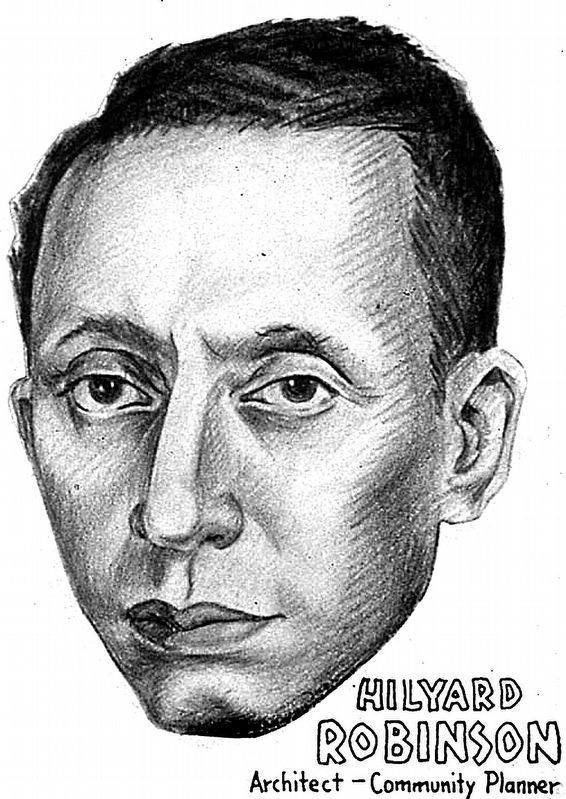
3. Hilyard Robinson
by Charles Henry Alston - The Office for Emergency Management. Office of War Information. Domestic Operations Branch. News Bureau. 6/13/1942-9/15/1945.
Credits. This page was last revised on August 17, 2024. It was originally submitted on August 3, 2010, by Bernard Fisher of Richmond, Virginia. This page has been viewed 1,727 times since then and 56 times this year. Last updated on March 28, 2011, by Richard E. Miller of Oxon Hill, Maryland. Photos: 1, 2. submitted on August 3, 2010, by Bernard Fisher of Richmond, Virginia. 3. submitted on October 13, 2022, by Allen C. Browne of Silver Spring, Maryland.
