Near Dublin in Pulaski County, Virginia — The American South (Mid-Atlantic)
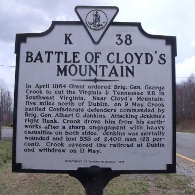
Battle of Cloyd’s Mountain
Erected 1991 by Department of Historic Resources. (Marker Number K-38.)
Topics and series. This historical marker is listed in this topic list: War, US Civil. In addition, it is included in the Virginia Department of Historic Resources (DHR) series list. A significant historical month for this entry is April 1864.
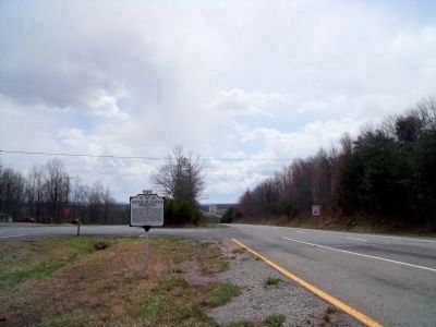
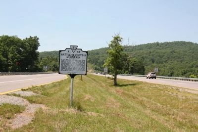
Location. 37° 10.475′ N, 80° 42.541′ W. Marker is near Dublin, Virginia, in Pulaski County. Marker is on Cleburne Boulevard (Virginia Route 100) 0.3 miles south of Cloyds Mountain Road, in the median. Touch for map. Marker is in this post office area: Dublin VA 24084, United States of America. Touch for directions.
Other nearby markers. At least 8 other markers are within 5 miles of this marker, measured as the crow flies. Giles County / Pulaski County (approx. 2.4 miles away); Est. 1767 (approx. 2.7 miles away); Rearguard Action (approx. 3.3 miles away); Battle of Cloyd's Farm (approx. 3.3 miles away); a different marker also named Battle of Cloyd's Mountain (approx. 3.3 miles away); New Dublin Presbyterian Church (approx. 3.6 miles away); Old-Fashioned Camp Meeting (approx. 4.1 miles away); Mountain Evangelist (approx. 4.6 miles away). Touch for a list and map of all markers in Dublin.
More about this marker. In the 1930s a marker with this same title and number was erected on U.S. 11 at Route 100 in Dublin. It read, “Five miles north, at Cloyd’s Mountain, General George Crook, raiding south to destroy the Virginia and Tennessee railroad (N&W), met and repulsed General A. G. Jenkins in a fierce action, May 9, 1864. Jenkins was mortally wounded.” Margaret Peters reported it missing in her 1989 Guidebook to Virginia’s Historic Markers.
Also see . . . Battle of Cloyd’s Mountain. Virginia Center for Civil War Studies, Virginia Tech (Submitted on April 3, 2011.)
Credits. This page was last revised on November 11, 2021. It was originally submitted on April 3, 2011, by Bernard Fisher of Richmond, Virginia. This page has been viewed 1,586 times since then and 73 times this year. Photos: 1, 2. submitted on April 3, 2011, by Bernard Fisher of Richmond, Virginia. 3. submitted on July 5, 2011, by J. J. Prats of Powell, Ohio.


