Near Radford in Pulaski County, Virginia — The American South (Mid-Atlantic)
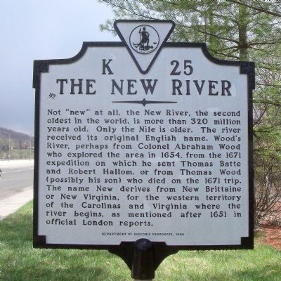
The New River
Photographed by Bernard Fisher, April 2, 2011
1. The New River Marker
Erected 1998 by Department of Historic Resources. (Marker Number K-25.)
Topics and series. This historical marker is listed in these topic lists: Exploration • Waterways & Vessels. In addition, it is included in the Virginia Department of Historic Resources (DHR) series list. A significant historical year for this entry is 1654.
Location. 37° 8.415′ N, 80° 34.601′ W. Marker is near Radford, Virginia, in Pulaski County. It is at the intersection of Lee Highway (U.S. 11) and Hazel Hollow Road (Virginia Route 626), on the right when traveling
this page online

Regionally, this marker is in Southwest Virginia, in the Blue Ridge Highlands, and in the New River Gorge. It is also in the American South, specifically in the Upper South, in Appalachia, and specifically in Southern Appalachia. Globally, it is in North America, the Western Hemisphere, the Western World, and the Anglosphere. Historically, it finds itself in what was once the territory of the Mississippian Culture, one of the original Thirteen Colonies, one of the Confederate States of America, and the Antebellum South.
Other nearby markers. At least 8 other markers are within walking distance of this marker: Montgomery County / Pulaski County (within shouting distance of this marker); Radford War Memorial (approx. 0.3 miles away); High Water Mark (approx. 0.4 miles away); Native American Village Site (approx. 0.4 miles away); Tree of Defense (approx. 0.4 miles away); Green Ash Tree (approx. 0.4 miles away); Freedom Tree (approx. 0.4 miles away); Service Tree (approx. 0.4 miles
Photographed by Bernard Fisher, April 2, 2011
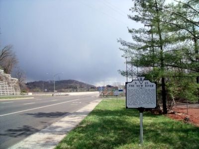
2. Lee Hwy (facing east)
Also see . . .
1. New River. Virginia Department of Wildlife Resources (Submitted on April 4, 2011.)
2. New River Trail State Park. Virginia Department of Conservation and Recreation (Submitted on April 4, 2011.)
Photographed by Bernard Fisher, April 2, 2011
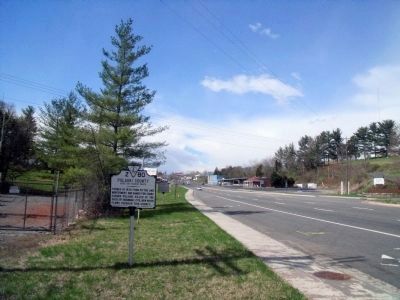
3. Lee Hwy (facing west)
Photographed by Bernard Fisher, April 2, 2011
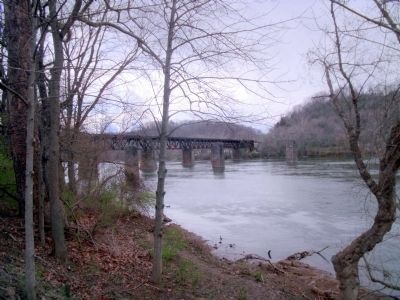
4. Nearby New River RR Bridge
Credits. This page was last revised on November 11, 2021. It was originally submitted on April 4, 2011, by Bernard Fisher of Richmond, Virginia. This page has been viewed 1,084 times since then and 43 times this year. Photos: 1, 2, 3, 4. submitted on April 4, 2011, by Bernard Fisher of Richmond, Virginia.
