Macon in Jones County, Georgia — The American South (South Atlantic)
Pitts Chapel
Photographed by David Seibert, April 1, 2011
1. Pitts Chapel Marker
Inscription.
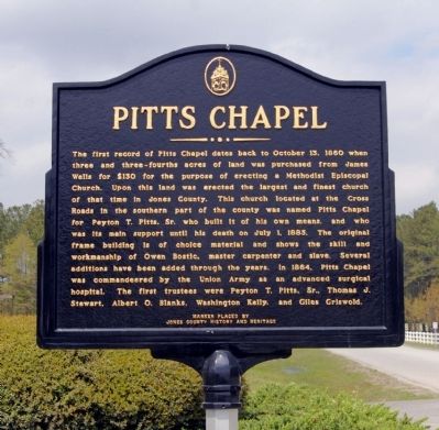
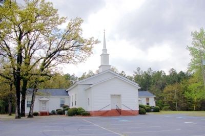
Pitts Chapel. . The first record of Pitts Chapel dates back to October 13, 1860 when three and three-fourths acres of land was purchased from James Wells for $130 for the purpose of erecting a Methodist Episcopal Church. Upon this land was erected the largest and finest church of that time in Jones County. This church located at the Cross Roads in the southern part of the county was named Pitts Chapel for Peyton T. Pitts, Sr. who built it of his own means, and who was its main support until his death on July 1, 1885. The original frame building is of choice material and shows the skill and workmanship of Owen Bostic, master carpenter and slave. Several additions have been added through the years. In 1864, Pitts Chapel was commandeered by the Union Army as an advanced surgical hospital. The first trustees were Peyton T. Pitts, Sr., Thomas J. Stewart, Albert O. Blanks, Washington Kelly, and Giles Griswold.
The first record of Pitts Chapel dates back to October 13, 1860 when three and three-fourths acres of land was purchased from James Wells for $130 for the purpose of erecting a Methodist Episcopal Church. Upon this land was erected the largest and finest church of that time in Jones County. This church located at the Cross Roads in the southern part of the county was named Pitts Chapel for Peyton T. Pitts, Sr. who built it of his own means, and who was its main support until his death on July 1, 1885. The original frame building is of choice material and shows the skill and workmanship of Owen Bostic, master carpenter and slave. Several additions have been added through the years. In 1864, Pitts Chapel was commandeered by the Union Army as an advanced surgical hospital. The first trustees were Peyton T. Pitts, Sr., Thomas J. Stewart, Albert O. Blanks, Washington Kelly, and Giles Griswold.
Marker is in Macon, Georgia, in Jones County. It is on Pitts Chapel Road 0.2 miles south of Georgia Route 49, on the right when traveling south. Touch for map. Marker is at or near this postal address: 132 Pitts Chapel Road, Macon GA 31217, United States of America. Touch for directions.
Regionally, this marker is in Georgia’s Antebellum Trail and in the Piedmont. It is also in the American South and specifically in the Deep South. Globally, it is in North America, the Western Hemisphere, the Western World, and the Anglosphere. Historically, it finds itself in what was once the territory of the Mississippian Culture, one of the original Thirteen Colonies, one of the Confederate States of America, and the Antebellum South.
Another marker is no longer nearby. Old Garrison Road (was approx. 3.3 miles away but has been confirmed missing).
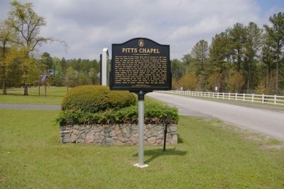
Photographed by David Seibert, April 1, 2011
3. Pitts Chapel Marker
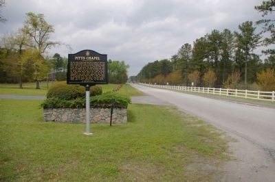
Looking north toward Georgia Highway 49
Photographed by David Seibert, April 1, 2011
4. Pitts Chapel Marker
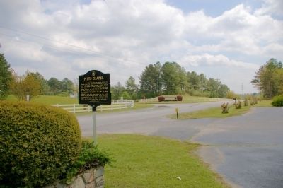
Looking south, at the entrance to a large kaolin mining operation
Photographed by David Seibert, April 1, 2011
5. Pitts Chapel Marker
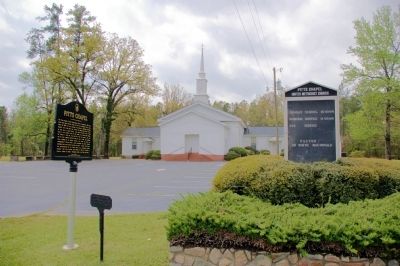
The marker and Pitts Chapel
Photographed by David Seibert, April 1, 2011
6. Pitts Chapel
Credits. This page was last revised on June 16, 2016. It was originally submitted on April 9, 2011, by David Seibert of Sandy Springs, Georgia. This page has been viewed 1,296 times since then and 45 times this year. Photos:1, 2, 3, 4, 5, 6. submitted on April 9, 2011, by David Seibert of Sandy Springs, Georgia. • Craig Swain was the editor who published this page.