Baraboo in Columbia County, Wisconsin — The American Midwest (Great Lakes)
St. Mary's of the Pines
Photographed by William J. Toman, April 9, 2011
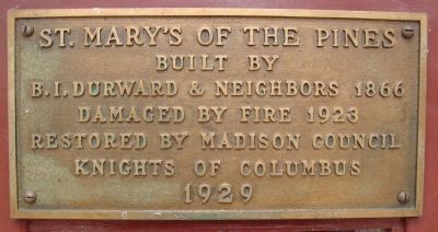
1. St. Mary's of the Pines Marker
Built by
B.I. Durward & Neighbors 1866
Damaged by fire 1923
Restored by Madison Council
Knights of Columbus
1929
Topics. This historical marker is listed in these topic lists: Cemeteries & Burial Sites • Religion & Religious Structures. A significant historical year for this entry is 1866.
Location. 43° 26.265′ N, 89° 35.56′ W. Marker is in Baraboo, Wisconsin, in Columbia County. It can be reached from the intersection of Durward's Glen Road and McLeisch Road, on the right when traveling north. The marker is on the chapel, which is up a driveway to the southwest of the intersection of Durward's Glen Road and McLeisch Road. Touch for map. Marker is at or near this postal address: W11876 McLeisch Road, Baraboo WI 53913, United States of America. Touch for directions.

Regionally, this marker is in Greater Madison. It is also in the American Midwest and in the Corn Belt. Globally, it is in North America, the Western Hemisphere, the Western World, and the Anglosphere. Historically, it finds itself in what was once the territory of the Mississippian Culture and also the Northwest Territory.
Other nearby markers. At
this page online
Another marker is no longer nearby. Man Mound (was approx. 5.3 miles away but has been permanently removed).
Regarding St. Mary's of the Pines. According to the web site of the Durward's Glen Retreat and Educational Center, "Bernard and Margaret [Durward] raised all of their 8 children here and remained until their deaths. Fulfilling the hopes of Bernard and Margaret, that Durward’s Glen would remain a haven of spiritual peace and natural beauty, their children offered the property to the religious Order of St. Camillus
Photographed by William J. Toman, April 9, 2011
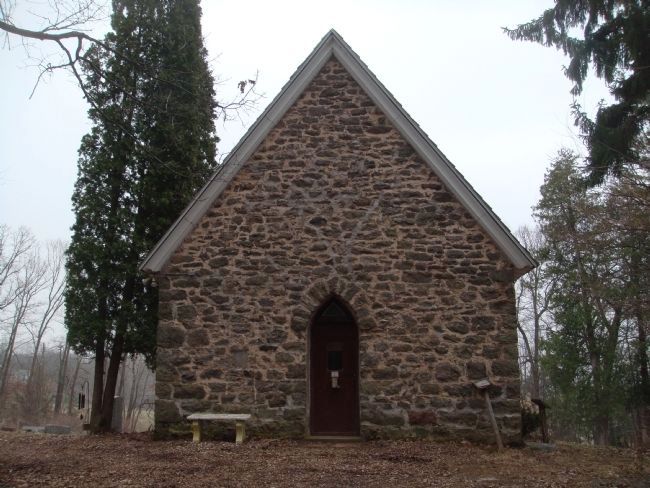
2. St. Mary's of the Pines Marker
The marker is on the door of the chapel. This is the west side of the chapel.
"In 2006, the parish was closed and the Order of St. Camillus put the property up for sale. But like the Durwards before them, they did not want to see the land held by strangers to whom traditions were not. The local community, particularly members of the St. Camillus Parish who form Our Lady of the Rosary Society, sought out and helped Magdalen College to receive the property in 2007."
Also see . . . Durward's Glen Retreat & Educational Center. (Submitted on April 10, 2011, by William J. Toman of Green Lake, Wisconsin.)
Photographed by William J. Toman, April 9, 2011
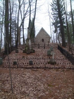
3. St. Mary's of the Pines
This is the Durward family plot to the west of the chapel and toward Durward's Glen.
Photographed by William J. Toman, April 9, 2011
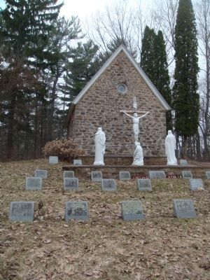
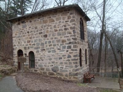
4. St. Mary's of the Pines
This is the east side of the chapel.
Photographed by William J. Toman, April 9, 2011
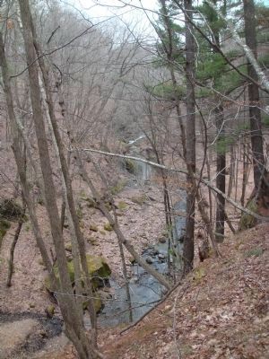
5. Durward's Glen
The view to the north in the glen just to the west of the chapel.
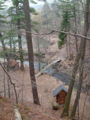
Photographed by William J. Toman, April 9, 2011
6. Durward's Glen
A footbridge over the stream looking to the south in the glen.
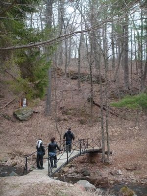
Photographed by William J. Toman, April 9, 2011
7. Durward's Glen
Closeup of the footbridge.
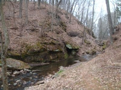
Photographed by William J. Toman, April 9, 2011
8. Durward's Glen
Photographed by William J. Toman, April 9, 2011
9. The Cornerstone Hermitage
This is part of the retreat and educational center on the other side of the glen from the chapel.
Credits. This page was last revised on June 16, 2016. It was originally submitted on April 10, 2011, by William J. Toman of Green Lake, Wisconsin. This page has been viewed 1,628 times since then and 66 times this year. Photos: 1, 2, 3, 4, 5, 6, 7, 8, 9. submitted on April 10, 2011, by William J. Toman of Green Lake, Wisconsin.
