The Delray Wreck
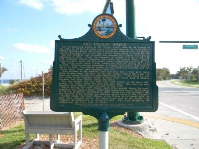
The S.S. INCHULVA was grounded and wrecked by a fierce hurricane on September 11, 1903. Under the command of Captain G.W. Davis, the 386 foot steel hulled British steamship was bound for Newport News, Virginia from Galveston, Texas carrying wheat, cotton, lumber and a crew of 28 men.
The storm struck about 5 p.m., tossing the ship and causing the cargo to shift. Steering became impossible, so Captain Davis put out both anchors, but to no avail. The anchors parted and the INCHULVA grounded and was ripped apart. Nine crew members were lost.
Dawn revealed to the battered crew that land and a town were just a short distance away. By noon, all the men except Captain Davis and two mates had landed on shore in a small hastily-built raft. They found hot food and coffee at the Chapman House, a local hotel, where many of Delray’s residents
this page online
The nine seamen who lost their lives were buried on the ridge overlooking the ocean where the ship had gone down. The surviving crew members were treated, paid and sent to New York.
Before leaving for their homes, each crew member signed the guest register of the Chapman House. Under their names they wrote, “Shipwrecked in the S.S. INCHULVA, September 11, 1903, landed on a raft September 12th and received every kindness and attention at the hands of Mrs. Chapman.”
Captain Davis, his Chief Officer, a 2nd Officer and a seaman from the ship were brought before the Naval Court held at the British Vice Consulate at Jacksonville on September 19th. The Court exonerated the Captain and the crew from all blame.
Erected 1980 by Historic Palm Beach County Preservation Board in cooperation with the Florida Department of State. (Marker Number F-327.)
Topics. This historical marker is listed in this topic list: Waterways & Vessels. A significant historical month for this entry is September 1922.
Location. 26° 27.267′ N, 80° 3.549′ W. Marker is in Delray Beach, Florida, in Palm Beach County. It is on Casuarina
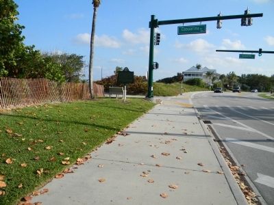

Regionally, this marker is in South Florida, on the Gold Coast, on the Treasure Coast, and in Greater Miami. It is also in the American South and on the Eastern Seaboard. Globally, it is in the North Atlantic Region, North America, a Gulf of Mexico state, the Western Hemisphere, the Western World, and the Anglosphere. Historically, it finds itself in what was once New Spain, the territory of the Mississippian Culture, one of the Confederate States of America, and the Antebellum South.
Other nearby markers. At least 8 other markers are within walking distance of this marker: Beach Dedication (about 600 feet away, measured in a direct line); Nassau Park Historic District (approx. ¼ mile away); J. B. Evans House (approx. ¼ mile away); First Presbyterian Church Fellowship Hall (approx. 0.4 miles away); Marina Historic District (approx. half a mile away); a different marker also named Marina Historic District (approx. 0.6 miles away); Atlantic Avenue Crossing (approx. 0.6 miles away); Orange Grove House of Refuge No. 3 (approx. 0.7 miles away). Touch for a list and map of all markers in Delray Beach.
Credits. This page was last revised on March 4, 2018. It was originally submitted on April 19, 2011, by Judith Barber of Marietta, Georgia. This page has been viewed 5,037 times since then and 433 times this year. Photos: 1, 2. submitted on April 19, 2011, by Judith Barber of Marietta, Georgia. • Bill Pfingsten was the editor who published this page.
