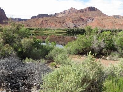
Marble Canyon in Coconino County, Arizona — The American Mountains (Southwest)
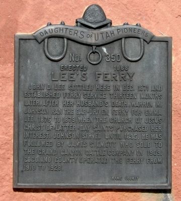
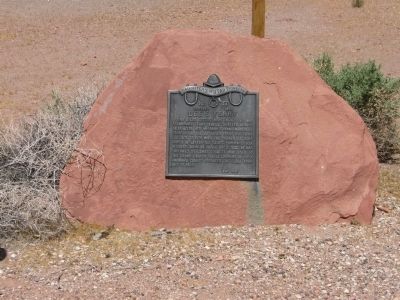
Lee's Ferry
Erected 1968 by Daughters of Utah Pioneers. (Marker Number 350.)
Topics and series. This historical marker is listed in these topic lists: Churches & Religion • Industry & Commerce • Roads & Vehicles • Waterways & Vessels. In addition, it is included in the Daughters of Utah Pioneers series list. A significant historical month for this entry is December 1872.
Location. 36° 52.004′ N, 111° 35.122′ W. Marker is in Marble Canyon, Arizona, in Coconino County. Marker can be reached from U.S. 89A at milepost 539. Turn near Marble Canyon Lodge on US Highway 89A. There's a sign directing one toward "Lee's Ferry." Go to the end of Lee's Ferry Road and park in the parking lot. Touch for map. Marker is in this post office area: Marble Canyon AZ 86036, United States of America. Touch for directions.
Other nearby markers. At least 8 other markers are within 5 miles of this marker, measured as the crow flies. A different marker also named Lees Ferry (about 600 feet away, measured in a direct line); Charles H. Spencer “Paddlewheel” Steamboat (approx. 0.3 miles away); Navajo Bridge (approx. 4.2 miles away); Navajo Bridge Erection Toggle Screw / Navajo Bridge (approx. 4.2 miles away); Lewis Nez (approx. 4.2 miles away); John Deering (approx. 4.2 miles away); a different marker also named Navajo Bridge (approx. 4.3 miles away); Lafe McDaniel (approx. 4.3 miles away). Touch for a list and map of all markers in Marble Canyon.
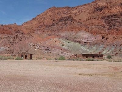
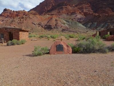
More about this marker. You must walk from the parking lot to see the marker near the abandoned fort.
Also see . . . Lee's Ferry National Historic Site. The National Park Service information on the historic site. (Submitted on April 27, 2011.)
Credits. This page was last revised on June 16, 2016. It was originally submitted on April 26, 2011, by Jack Duffy of West Jordan, Utah. This page has been viewed 1,024 times since then and 34 times this year. Photos: 1, 2, 3. submitted on April 26, 2011, by Jack Duffy of West Jordan, Utah. 4, 5. submitted on May 26, 2016, by Bill Kirchner of Tucson, Arizona. • Syd Whittle was the editor who published this page.
