Marble Canyon in Coconino County, Arizona — The American Mountains (Southwest)
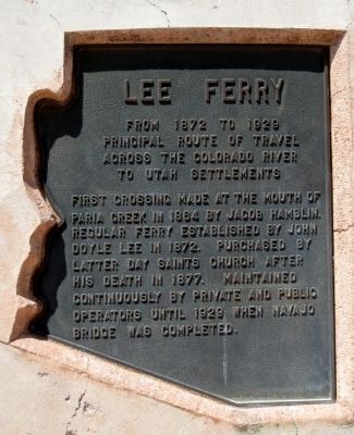
Lee Ferry
Photographed by Jack Duffy, April 25, 2011
1. Lee Ferry Marker
principal route of travel
across the Colorado River
to Utah Settlements
First crossing made at the mouth of Paria Creek in 1864 by Jacob Hamblin. Regular ferry established by John Doyle Lee in 1872. Purchased by Latter-Day Saints Church after his death in 1877. Maintained continuously by private and public operators until 1929 when Navajo Bridge was completed.
Topics. This historical marker is listed in these topic lists: Industry & Commerce • Religion & Religious Structures • Waterways & Vessels. A significant historical year for this entry is 1872.
Location. 36° 48.99′ N, 111° 38.256′ W. Marker is in Marble Canyon, Arizona, in Coconino County. It is on U.S. 89A at milepost 538, on the right when traveling west. Touch for map. Marker is in this post office area: Marble Canyon AZ 86036, United States of America. Touch for directions.

Regionally, this marker is in Flagstaff & High Country, in the Navajo Nation, and in Hopi. It is also in the American Southwest, in the Mountain West, on the Colorado Plateau, and at the Four Corners. Globally, it is in North America, the Western
this page online
Other nearby markers. At least 8 other markers are within walking distance of this marker: Impossible Canyons (about 400 feet away, measured in a direct line); Marble Canyon Lodge (approx. ¼ mile away); Lee's Ferry (approx. ¼ mile away); Lafe McDaniel (approx. 0.3 miles away); Navajo Bridge (approx. 0.3 miles away); John Deering (approx. 0.4 miles away); Lewis Nez (approx. 0.4 miles away); a different marker also named Navajo Bridge (approx. 0.4 miles away). Touch for a list and map of all markers in Marble Canyon.
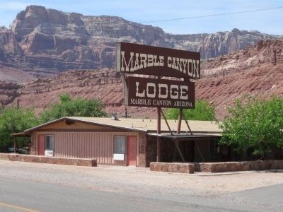
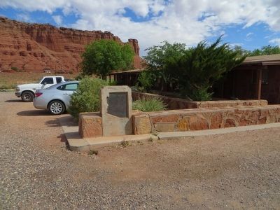
More about this marker. This marker is located on the grounds of the Marble Canyon Lodge.
Photographed by Jack Duffy, April 25, 2011
2. Marble Canyon Lodge
The marker is located on the grounds of this lodge.
Photographed by Bill Kirchner, May 17, 2016
3. Lee Ferry Marker
Photographed by Bill Kirchner, May 17, 2016
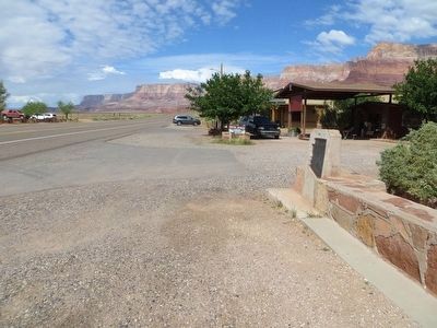
4. Lee Ferry Marker
View west on highway 89A.
Credits. This page was last revised on June 16, 2016. It was originally submitted on April 26, 2011, by Jack Duffy of West Jordan, Utah. This page has been viewed 987 times since then and 22 times this year. Photos: 1, 2. submitted on April 26, 2011, by Jack Duffy of West Jordan, Utah. 3, 4. submitted on May 26, 2016, by Bill Kirchner of Tucson, Arizona. • Syd Whittle was the editor who published this page.
