Near Diamond in Newton County, Missouri — The American Midwest (Upper Plains)
Williams' Spring
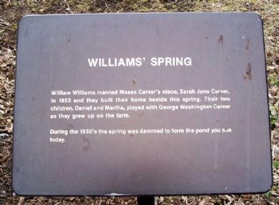
Photographed by William Fischer, Jr., January 22, 2011
1. Williams' Spring Marker
William Williams married Moses Carver's niece, Sarah Jane Carver, in 1853 and they built their home beside this spring. Their two children, Daniel and Martha, played with George Washington Carver as they grew up on the farm.
During the 1930's the spring was dammed to form the pond you see today.
Erected by National Park Service.
Topics and series. This historical marker is listed in these topic lists: African Americans • Environment • Settlements & Settlers. In addition, it is included in the George Washington Carver series list. A significant historical year for this entry is 1853.
Location. This marker has been replaced by another marker nearby. It was located near 36° 59.31′ N, 94° 21.309′ W. Marker was near Diamond, Missouri, in Newton County. It could be reached from Carver Trail. Marker was along the nature trail at George Washington Carver National Monument. Touch for map. Marker was at or near this postal address: 5646 Carver Road, Diamond MO 64840, United States of America. Touch for directions.

Regionally, this marker was in Southwest Missouri. It was also in the American Ozarks, in the Lewis
this page online
Other nearby markers. At least 8 other markers are within walking distance of this location: Home Folks (here, next to this marker); His First Prayer (a few steps from this marker); Special Moments in the Woods (about 300 feet away, measured in a direct line); From Pebbles to Paintings (about 400 feet away); The Plant Doctor (about 400 feet away); From Farm to Classroom (about 400 feet away); What an Orphan Chooses to Forget - and Remember (about 500 feet away); The Persimmon Tree (about 500 feet away). Touch for a list and map of all markers in Diamond.
Also see . . . George Washington Carver National Monument. (Submitted on April 27, 2011, by William Fischer, Jr. of Reynoldsburg, Ohio.)

Photographed by William Fischer, Jr., January 22, 2011
2. Williams' Spring (Pond) and Marker
Credits. This page was last revised on September 25, 2026. It was originally submitted on April 27, 2011, by William Fischer, Jr. of Reynoldsburg, Ohio. This page has been viewed 736 times since then and 28 times this year. Photos: 1, 2. submitted on April 27, 2011, by William Fischer, Jr. of Reynoldsburg, Ohio.
