Near Diamond in Newton County, Missouri — The American Midwest (Upper Plains)
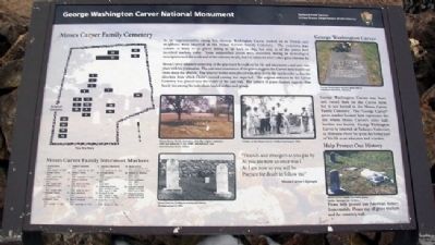
Moses Carver Family Cemetery
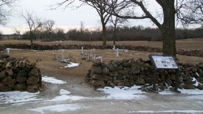
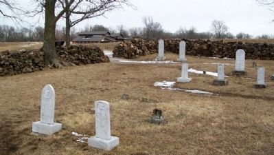
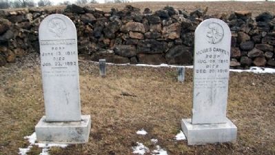
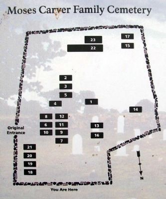
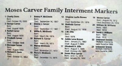
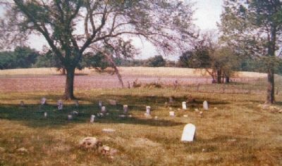
As an impressionable young boy, George Washington Carver looked on as friends and neighbors were interred in the Moses Carver Family Cemetery. The cemetery may contain as many as 40 graves dating as far back as 1835, but only 21 of the graves have inscribed markers today. Some unidentified graves were uncovered during an archeological investigation near the south wall of the cemetery in 1985, but it is unknown where other grave sites may be.
Moses Carver retained ownership of the graveyard throughout his life and interments could only take place with his permission. The east-west orientation of the graves suggests the Carvers held traditional views about the afterlife. The interred bodies were placed with their feet to the east in order to face the direction from which Christ's second coming was expected. The original entrance to the Carver Cemetery was placed near the center of the east wall. The pattern of grave clusters suggests close family ties among the individuals buried within each group.
Erected by National Park Service.
Topics and series. This historical marker is listed in these topic lists: Cemeteries & Burial Sites • Settlements & Settlers. In addition, it is included in the George Washington Carver series list. A significant historical year for this entry is 1835.
Location. 36° 59.107′ N, 94° 21.424′ W. Marker is near Diamond, Missouri, in Newton County. Marker is at the cemetery, on the grounds of the George Washington Carver National Monument. Touch for map. Marker is at or near this postal address: 5646 Carver Road, Diamond MO 64840, United States of America. Touch for directions.
Other nearby markers. At least 8 other markers are within walking distance of this marker. The Moses Carver Farm (about 600 feet away, measured in a direct line); George Washington Carver National Monument (about 600 feet away); George Washington Carver's Birthplace (about 600 feet away); George Washington Carver's Thoughts (approx. 0.2 miles away); Birthplace of George Washington Carver (approx. 0.2 miles away); What an Orphan Chooses to Forget - and Remember (approx. 0.2 miles away); Special Moments in the Woods (approx. 0.2 miles away); The Persimmon Tree (approx. ¼ mile away). Touch for a list and map of all markers in Diamond.
Also see . . . George Washington Carver National Monument. (Submitted on April 27, 2011, by William Fischer, Jr. of Scranton, Pennsylvania.)
Credits. This page was last revised on June 16, 2016. It was originally submitted on April 27, 2011, by William Fischer, Jr. of Scranton, Pennsylvania. This page has been viewed 1,011 times since then and 42 times this year. Photos: 1, 2, 3, 4, 5, 6, 7. submitted on April 27, 2011, by William Fischer, Jr. of Scranton, Pennsylvania.
