Falls Church, Virginia — The American South (Mid-Atlantic)
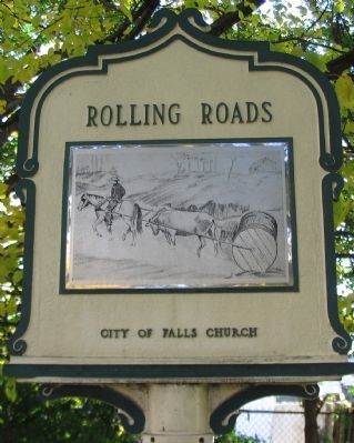
Rolling Roads
Erected by City of Falls Church.
Topics and series. This historical marker is listed in these topic lists: Industry & Commerce • Roads & Vehicles. In addition, it is included in the Virginia, City of Falls Church series list. A significant historical year for this entry is 1730.
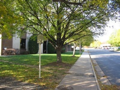
Location. 38° 52.859′ N, 77° 10.396′ W. Marker is in Falls Church, Virginia. Marker is at the intersection of Annandale Road and Washington Street (U.S. 29+), on the right when traveling south on Annandale Road. Touch for map. Marker is in this post office area: Falls Church VA 22046, United States of America. Touch for directions.
Other nearby markers. At least 8 other markers are within walking distance of this marker. The Falls Church (about 300 feet away, measured in a direct line); a different marker also named The Falls Church (about 300 feet away); a different marker also named The Falls Church (about 400 feet away); Enslaved People (about 400 feet away); Union Soldiers (about 400 feet away); Confederate Soldiers (about 400 feet away); New York Memorial Stone at Falls Church (about 400 feet away); James Wren (about 500 feet away). Touch for a list and map of all markers in Falls Church.
More about this marker. The back side of the marker displays a drawing showing the rolling of a hogshead cask.
Also see . . . Economic Aspects of Tobacco during the Colonial Period - 1612-1776. (Submitted on December 15, 2007, by Craig Swain of Leesburg, Virginia.)
Credits. This page was last revised on November 5, 2018. It was originally submitted on December 15, 2007, by Craig Swain of Leesburg, Virginia. This page has been viewed 2,159 times since then and 34 times this year. Photos: 1, 2, 3. submitted on December 15, 2007, by Craig Swain of Leesburg, Virginia.


