Sharon in Litchfield County, Connecticut — The American Northeast (New England)
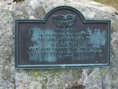
Dedicated to the Men and Women of Sharon
In Grateful Tribute To
The Men And Women Of
Sharon
Who Have Served Our Country
Since The Founding Of The Town
In 1739
Topics. This memorial is listed in these topic lists: Colonial Era • Settlements & Settlers. A significant historical year for this entry is 1739.
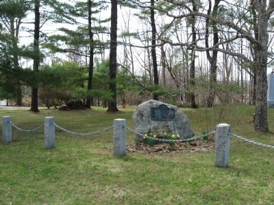
Location. 41° 52.563′ N, 73° 28.649′ W. Marker is in Sharon, Connecticut, in Litchfield County. Memorial is at the intersection of Main Street (Connecticut Route 41) and Amenia Road (Connecticut Route 343), on the right when traveling south on Main Street. Touch for map. Marker is in this post office area: Sharon CT 06069, United States of America. Touch for directions.
Other nearby markers. At least 8 other markers are within 5 miles of this marker, measured as the crow flies. Sharon Veterans Monument (a few steps from this marker); Sharon Clock Tower (within shouting distance of this marker); Site of the 2nd House of Worship (about 700 feet away, measured in a direct line); Sharon (approx. 0.2 miles away); Sharon Soldiers' Monument (approx. 0.4 miles away); Dutchess County (approx. 1.3 miles away in New York); Troutbeck (approx. 2.4 miles away in New York); Amenia (approx. 4.2 miles away in New York). Touch for a list and map of all markers in Sharon.
Credits. This page was last revised on January 5, 2020. It was originally submitted on May 2, 2011, by Michael Herrick of Southbury, Connecticut. This page has been viewed 572 times since then and 11 times this year. Photos: 1, 2. submitted on May 2, 2011, by Michael Herrick of Southbury, Connecticut.

