Near Deerfield in Dane County, Wisconsin — The American Midwest (Great Lakes)
Goose Lake
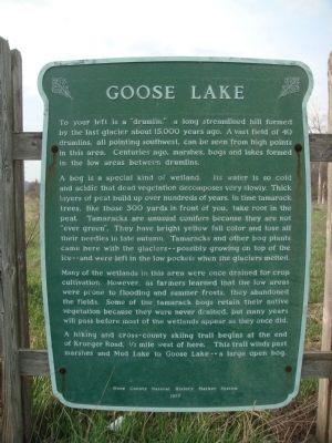
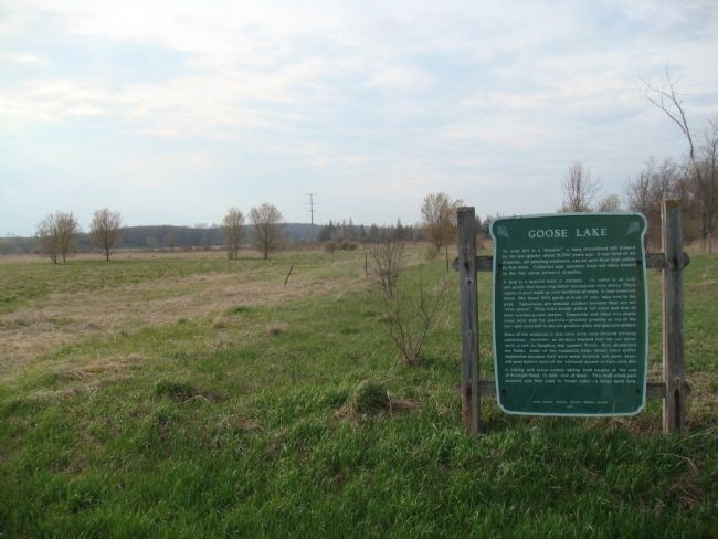
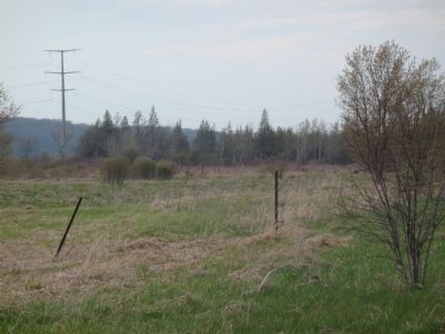
A bog is a special kind of wetland. Its water is so cold and acidic that dead vegetation decomposes very slowly. Thick layers of peat build up over hundreds of years. In time tamarack trees, like those 300 yards in front of you, take root in the peat. Tamaracks are unusual conifers because they are not "ever green." They have bright yellow fall color and lose all their needles in late autumn. Tamaracks and other bog plants came here with the glaciers--possibly growing on top of the ice--and were left in the low pockets when the glaciers melted.
Many of the wetlands in this area were once drained for crop cultivation. However, as farmers learned that the low areas were prone to flooding and summer frosts, they abandoned the fields. Some of the tamarack bogs retain their native vegetation because they were never drained, but many years will pass before most of the wetlands appear as they once did.
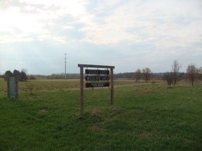
A hiking and cross-country skiing trail begins at the end of Krueger Road, ½ mile west of here. This trail winds past marshes and Mud Lake to Goose Lake--a large open bog.
Erected 1977 by the Dane County Natural History Marker System.
Topics. This historical marker is listed in this topic list: Environment.
Location. 43° 5.158′ N, 89° 2.216′ W. Marker is near Deerfield, Wisconsin, in Dane County. Marker is on County Highway BB, half a mile east of Krueger Road, on the left when traveling east. Touch for map. Marker is in this post office area: Deerfield WI 53531, United States of America. Touch for directions.
Other nearby markers. At least 8 other markers are within 9 miles of this marker, measured as the crow flies. Marshall Academy and High School (approx. 5.8 miles away); Lake Ripley (approx. 6 miles away); The Island Church (approx. 7.8 miles away); Rockdale Mill (approx. 7.8 miles away); Drumlins (approx. 8.2 miles away); The Wisconsin Granger Movement (approx. 8.8 miles away); Pioneer Aztalan (approx. 8.9 miles away); Aztalan Mound Park (approx. 8.9 miles away).
Related markers. Click here for a list of markers that are related to this marker. This is a list of markers in the Dane County Natural History Marker System.
Credits. This page was last revised on June 16, 2016. It was originally submitted on May 13, 2011, by William J. Toman of Green Lake, Wisconsin. This page has been viewed 1,019 times since then and 47 times this year. Photos: 1, 2, 3, 4. submitted on May 13, 2011, by William J. Toman of Green Lake, Wisconsin.


