Richmond on Staten Island in Richmond County, New York — The American Northeast (Mid-Atlantic)
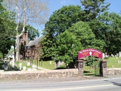
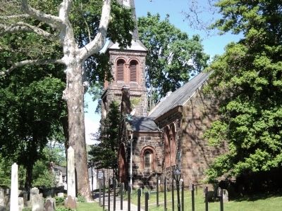
St. Andrew’s Church
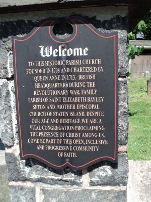
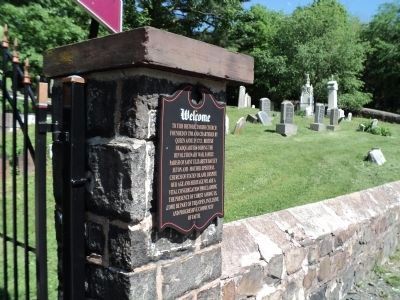
Welcome to this historic parish church founded in 1708 and chartered by Queen Anne in 1713, British headquarters during the Revolutionary War, family parish of Saint Elizabeth Bayley Seton and Mother Episcopal Church of Staten Island. Despite our age and heritage we are a vital congregation proclaiming the presence of Christ among us. Come be part of this open, inclusive and progressive community of faith.
Erected by Church of St. Andrew.
Topics. This historical marker is listed in these topic lists: Churches & Religion • Colonial Era • War, US Revolutionary. A significant historical year for this entry is 1708.
Location. 40° 34.368′ N, 74° 8.799′ W. Marker is on Staten Island, New York, in Richmond County. It is in Richmond. Marker is on Arthur Kill Road, on the right when traveling south. Touch for map. Marker is at or near this postal address: 982 Richmond Hill Rd, Staten Island NY 10306, United States of America. Touch for directions.
Other nearby markers. At least 8 other markers are within walking distance of this marker. Patriots under Gen. Mercer (within shouting distance of this marker); Relatives of Elizabeth Bayley Seton (within shouting distance of this marker); Church of St. Andrew (within shouting distance of this marker); Church of Saint Andrew (within shouting distance of this marker); Site of 18th century structures (within shouting distance of this marker); The Treasure House (about 300 feet away, measured in a direct line); Christopher House (about 400 feet away); Site of Aquilino's Pizzeria and Restaurant (about 400 feet away). Touch for a list and map of all markers in Staten Island.
Also see . . . St. Andrew's Church (Staten Island). Wikipedia entry (Submitted on February 18, 2023, by Larry Gertner of New York, New York.)
Credits. This page was last revised on February 20, 2023. It was originally submitted on May 21, 2011, by Bill Coughlin of Woodland Park, New Jersey. This page has been viewed 750 times since then and 30 times this year. Photos: 1, 2, 3, 4. submitted on May 21, 2011, by Bill Coughlin of Woodland Park, New Jersey.


