Point Pleasant in Mason County, West Virginia — The American South (Appalachia)
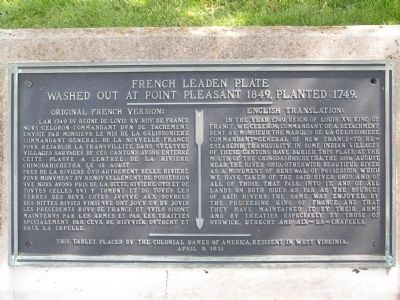
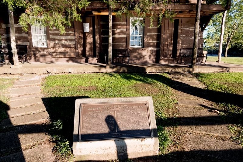
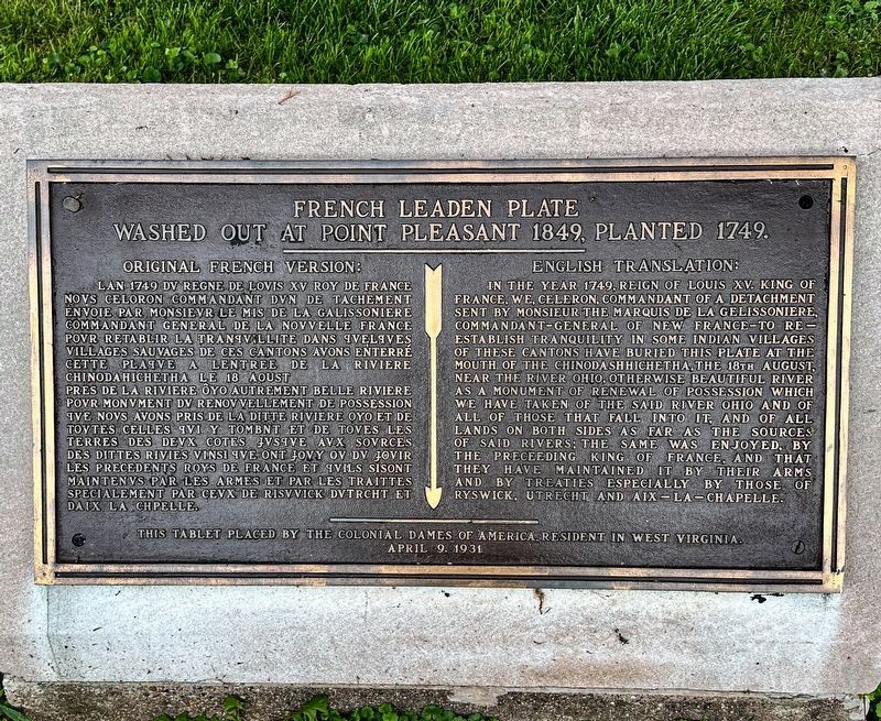
French Leaden Plate
Washed out at Point Pleasant 1849, Planted 1749.
Erected 1931 by Colonial Dames of America, West Virginia.
Topics and series. This historical marker is listed in these topic lists: Colonial Era • Forts and Castles. In addition, it is included in the The Colonial Dames of America, National Society of series list. A significant historical year for this entry is 1749.
Location. 38° 50.317′ N, 82° 8.473′ W. Marker is in Point Pleasant, West Virginia, in Mason County. Marker is on South Main Street. Located within the Point Pleasant Memorial Park. Touch for map. Marker is in this post office area: Point Pleasant WV 25550, United States of America. Touch for directions.
Other nearby markers. At least 8 other markers are within walking distance of this marker. The Magazine (within shouting distance of this marker); Col. Charles Lewis (within shouting distance of this marker); The Sallie Marmet Anchor (within shouting distance of this marker); Revolutionary Soldiers (within shouting distance of this marker); French Oak (within shouting distance of this marker); a different marker also named French Oak (within shouting distance of this marker); Liberty Tree (within shouting distance of this marker); The Mansion House (within shouting distance of this marker). Touch for a list and map of all markers in Point Pleasant.
Also see . . .
1. Celeron de Blainville Buries Lead Plates. West Virginia Archives and history website entry:
1924 article by Mrs. Delta A. McCulloch, of Point Pleasant, West Virginia, in the Pocahontas Times. “I then wrote to the boys who had found the plate, and who were now old men living in the far west, and they gave me some of the details of the discovery of it. Two of the boys were the sons of John Beale, eldest son of Col. Tavener Beale of the Revolution. John Beale at this time was proprietor of the hotel at Point Pleasant. The third boy was the grandson of the old Scotch lawyer James Wilson, who walked from Alexandria, Virginia, to Wood county, West Virginia and became the lawyer of Blannerhassett, and was arrested with him at the time of the Burr conspiracy, but as Burr was not convicted they were never tried. Mr. Wilson later moved to Charleston and became a distinguished
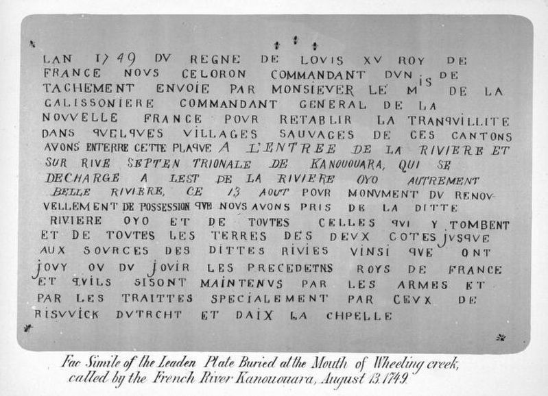
Published by J.A. Caldwell, via the Ohio Public Library, 1879
3. Facsimile of the Leaden Plate ...
... Buried at the Mouth of Wheeling creek, called by the French River Kanououara, August 13, 1749. Published in the 1879 book History of the Pan Handle; Being Historical Collections of the Counties of Ohio, Brooke, Marshall and Hancock, West Virginia. the plate found here would have been similar.
2. Leaden Plate Buried at Wheeling Creek. Ohio County Public Library website entry:
Pierre-Joseph Céloron de Blainville claims territory for France. “In the mid-1700s, France and Great Britain stood on the brink of war for control of the Ohio Valley. In August of 1749, French Canadian military leader and explorer Pierre-Joseph Celoron, led by Native American guides, arrived at the mouth of Wheeling Creek with his Canadian militia. At the junction of Wheeling Creek and the Ohio River, he buried a leaden plate, claiming all territory drained by the streams in the name of Louis XV, king of France.” (Submitted on October 25, 2018.)
Credits. This page was last revised on September 5, 2023. It was originally submitted on May 22, 2011, by Nathan Davidson of Salisbury, Maryland. This page has been viewed 1,109 times since then and 102 times this year. Photos: 1. submitted on May 22, 2011, by Nathan Davidson of Salisbury, Maryland. 2, 3. submitted on October 25, 2018, by J. J. Prats of Powell, Ohio. 4. submitted on September 4, 2023, by J.T. Lambrou of New Boston, Michigan. 5. submitted on May 22, 2011, by Nathan Davidson of Salisbury, Maryland. • Bill Pfingsten was the editor who published this page.
