Near Quesnel in Cariboo, British Columbia — Canada’s West Coast (North America)
Cottonwood House
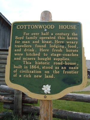
Photographed by Barry Swackhamer, August 18, 2010
1. Cottonwood House Marker
Erected by Province of British Coumbia.
Topics. This historical marker is listed in these topic lists: Agriculture • Industry & Commerce • Notable Buildings. A significant historical year for this entry is 1864.
Location. 53° 3.198′ N, 122° 10.158′ W. Marker is near Quesnel, British Columbia, in Cariboo. It is on Sorum Road. Cottonwood House is 18 miles east of Quesnel, just off the Barkerville Hwy (26). Touch for map. Marker is in this post office area: Quesnel BC V2J 6T9, Canada. Touch for directions.

Regionally, this marker is in the BC Interior and in Cariboo Chilcotin Coast. Globally, it is in North America, on the Ring of Fire, on the Pacific Rim, in the Western Hemisphere, in the Western World, and in the Anglosphere. Historically, it finds itself in what was once a British
this page online
Other nearby markers. within 14 kilometers of this marker, measured as the crow flies:
Another marker is no longer nearby. Bridging the Cottonwood (was approx. 14 kilometers away but has been confirmed missing).
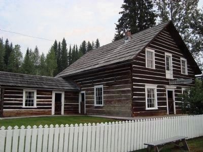
Photographed by Barry Swackhamer, August 18, 2010
2. Cottonwood House
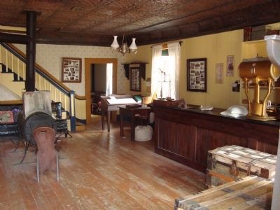
Photographed by Barry Swackhamer, August 18, 2010
3. Cottonwood House, interior
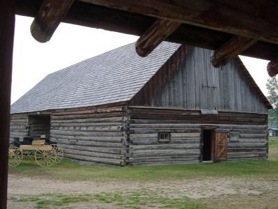
Photographed by Barry Swackhamer, August 18, 2010
4. Cottonwood House barn
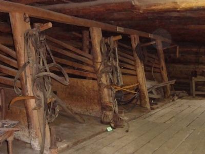
Photographed by Barry Swackhamer, August 18, 2010
5. Cottonwood House stable
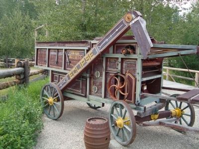
Photographed by Barry Swackhamer, August 18, 2010
6. Antique farm machinery
Credits. This page was last revised on June 16, 2016. It was originally submitted on May 28, 2011, by Barry Swackhamer of Brentwood, California. This page has been viewed 1,051 times since then and 29 times this year. Photos: 1, 2, 3, 4, 5, 6. submitted on May 28, 2011, by Barry Swackhamer of Brentwood, California. • Syd Whittle was the editor who published this page.
