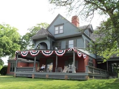
Oyster Bay in Nassau County, New York — The American Northeast (Mid-Atlantic)
Up to the Roosevelts
Topics. This historical marker is listed in this topic list: Roads & Vehicles.
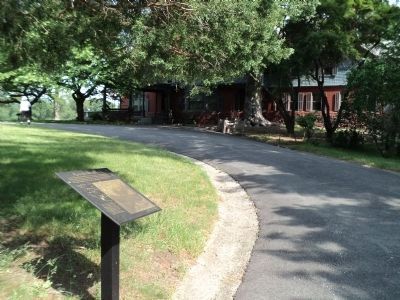
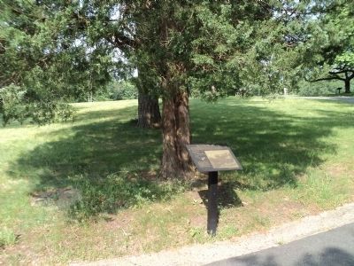
Location. 40° 53.111′ N, 73° 30.043′ W. Marker is in Oyster Bay, New York, in Nassau County. Marker can be reached from Sagamore Hill Road, on the right when traveling north. Marker is located at Sagamore Hill National Historic Site, near the entrance to the Roosevelt Home. Touch for map. Marker is in this post office area: Oyster Bay NY 11771, United States of America. Touch for directions.
Other nearby markers. At least 8 other markers are within walking distance of this marker. On the Farm (within shouting distance of this marker); Sagamore Hill in the Presidential Years (within shouting distance of this marker); Atop Sagamore Hill (within shouting distance of this marker); Copper Beech (within shouting distance of this marker); The Ice House (within shouting distance of this marker); The House (within shouting distance of this marker); Mounting Platform (within shouting distance of this marker); The Windmill (within shouting distance of this marker). Touch for a list and map of all markers in Oyster Bay.
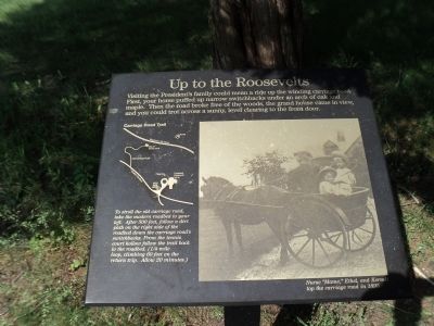
More about this marker. The right side of the marker features an 1895 photograph of Theodore Rooseveltís children Ethel, and Kermit with their Nurse “Mame” on the carriage road.
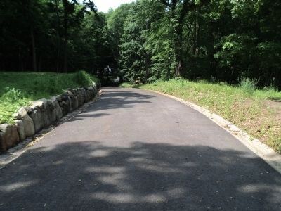
A map of the Sagamore Hill site showing President Rooseveltís Home, the carriage road and the location of the marker appears on the left side of the marker. It has a caption of “To stroll the old carriage road, take the modern roadbed to your left. After 500 feet, follow a dirt path on the right side of the roadbed down the carriage roadís switchbacks. From the tennis court hollow follow the trail back to the roadbed. (ľ mile loop, climbing 60 feet on the return trip. Allow 20 minutes.)”
Also see . . .
1. Sagamore Hill National Historic Site. National Park Service website. (Submitted on May 31, 2011, by Bill Coughlin of Woodland Park, New Jersey.)
2. Biography of Theodore Roosevelt. The White House website. (Submitted on May 31, 2011, by Bill Coughlin of Woodland Park, New Jersey.)
3. Sagamore Hill National Historic Site - National Archives
. National Register of Historic Places documentation (Submitted on March 28, 2024, by Anton Schwarzmueller of Wilson, New York.)
Credits. This page was last revised on March 28, 2024. It was originally submitted on May 31, 2011, by Bill Coughlin of Woodland Park, New Jersey. This page has been viewed 411 times since then and 11 times this year. Photos: 1, 2, 3, 4, 5. submitted on May 31, 2011, by Bill Coughlin of Woodland Park, New Jersey.
