Milledgeville in Baldwin County, Georgia — The American South (South Atlantic)
Jarrett Springs

Photographed by Charles Smith, May 31, 2011
1. Jarrett Springs Marker
Erected 2011 by William Sherrill Chapter Georgia 21 National Society Colonial Dames XVII Century.
Topics and series. This historical marker is listed in these topic lists: Settlements & Settlers • Waterways & Vessels. In addition, it is included in the The Colonial Dames XVII Century, National Society series list. A significant historical year for this entry is 1803.
Location. 33° 5.107′ N, 83° 13.7′ W. Marker is in Milledgeville, Georgia, in Baldwin County. It is on North Wayne St. near West Thomas St. when traveling north. adjacent to GCSU physical plant. Touch for map. Marker is in this post office area: Milledgeville GA 31061, United States of America. Touch for directions.

Regionally, this marker is in the Antebellum Trail and in the Piedmont. It is also in the American South and specifically in the Deep South.
this page online
Other nearby markers. At least 8 other markers are within walking distance of this marker: Masonic Temple of Benevolent Lodge No 3, F. & A. M. (approx. ¼ mile away); Great Seal of Georgia and the Unfinished Acts of the Legislature, 1864 (approx. ¼ mile away); The Great Seal of Georgia (approx. ¼ mile away); The Allen Strain (approx. 0.3 miles away); Sacred Heart Catholic Church (approx. 0.3 miles away); Baldwin County Veterans Memorial (approx. 0.3 miles away); Site of Fort Defiance (approx. 0.3 miles away); Old State Capitol (approx. 0.3 miles away). Touch for a list and map of all markers in Milledgeville.
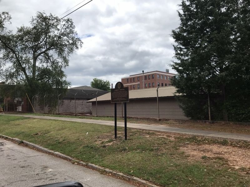
Photographed by Duane and Tracy Marsteller, May 7, 2022
2. Jarrett Springs Marker
Credits. This page was last revised on May 13, 2022. It was originally submitted on June 6, 2011, by Charles Smith of Milledgeville, Baldwin Georgia. This page has been viewed 1,384 times since then and 82 times this year. Photos: 1. submitted on June 6, 2011, by Charles Smith of Milledgeville, Baldwin Georgia. 2. submitted on May 13, 2022, by Duane and Tracy Marsteller of Murfreesboro, Tennessee. • Bill Pfingsten was the editor who published this page.
